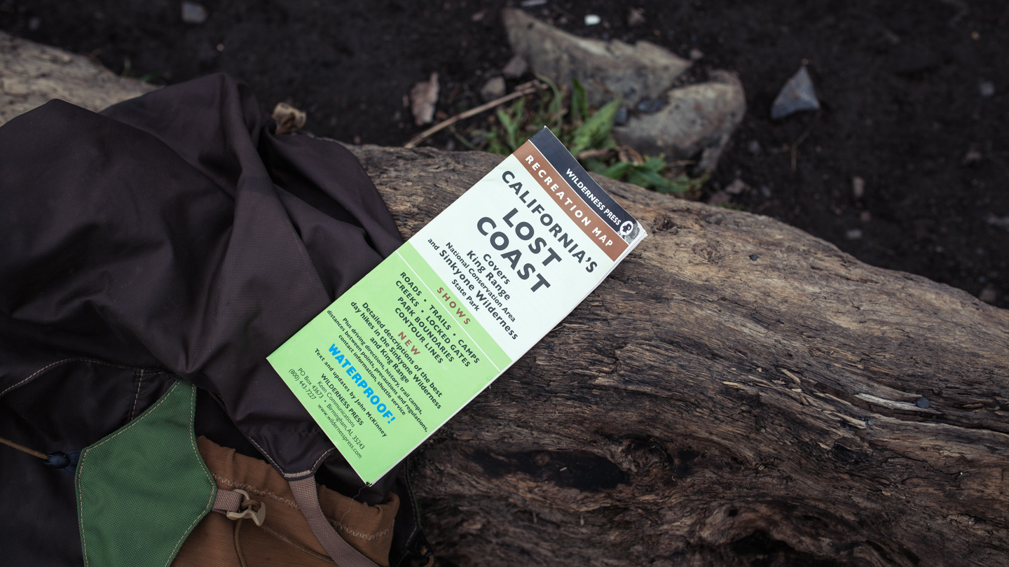
Last summer Kristen and I flew to San Diego, California to embark on a 21 day road trip up the coast to Portland, OR. There was a lot of stuff we wanted to do and see in three weeks and we had a rough idea of places we had to visit. I was psyched on doing some sort of multi-day backpacking trip along the way and The Lost Coast Trail fit the bill perfectly. For those of you that don’t know, The Lost Coast is located on California’s North Coast in Humboldt and Mendocino Counties. It got its name because this section of land was too steep and rugged to continue building Highway 1, so it turned inland 20 miles around this remote section of coastline. There are still several small towns that are only accessible by small mountain roads and a tiny airport in Shelter Cove. The Lost Coast Trail is located in the King Range National Conservation Area and stretches 25 miles from Mattole Beach to Shelter Cove. Not only is a majority of the trail beach walking (which after a while is tough on the feet), a lot of it is wet with various sections of large rocks and small pebbles. The only elevation change is the occasional ridge walk on the side of the sloping mountains. There are a few sections of the trail that can’t be crossed at high tide and timing the tide is paramount. Before the trip I grabbed a tide chart to help us navigate these sections at the right time. I read a few horror stories of people getting caught in the high tide area and stranded on the edge of a cliff until it receded, definitely didn’t want that to happen. We planned on hiking the trail in 3 days with daily mileage of about 8 miles.
Shelter Cove Campground
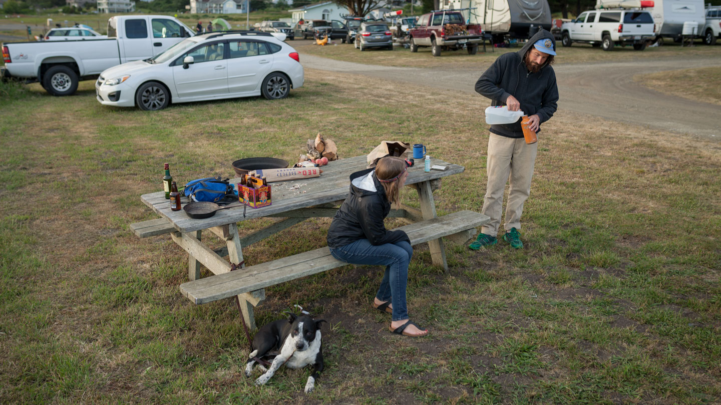
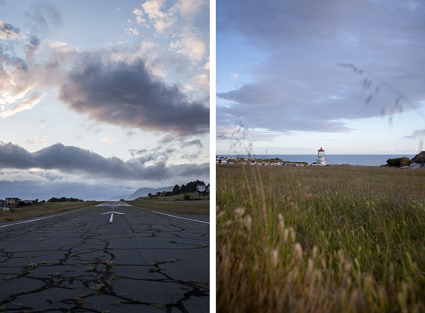
We left Santa Rosa around 10am after a quick visit to the grocery store for food and other supplies. We stayed the previous night at our friends Eben and Elisa’s house where they made sure we paid a visit to the Russian River Brewery. I’ve known Eben for a long time. We did a lot of camping and hiking growing up together and Kristen and I were both psyched he was joining us on the trek down the coast. After about a 4 hour drive we closed in on Shelter Cove where we stopped at the General Store so I could rent a bear canister (it was required to carry one on the trail). Since we didn’t have camping reservations I inquired with the lady at the front counter on the best place to go. She pretty much said we were shit out of luck because the only campground in town was hosting a tournament and likely full. I put down a deposit for the canister, grabbed some beers and drove down the remaining road to check it out. Luckily we were able to grab a last minute spot at the campground a few hours before sunset. The campground was located at the base of the airport runway and had some really nice views of the coast. It happened to be the annual kayak fishing tournament that weekend and the place was packed with fisherman. I couldn’t tell if the karaoke coming from the “main stage” was part of the tournament weekend or just the locals slugging beers and belting country tunes. Anyway, we cooked up dinner and relaxed while watching the sun go down. It was a fitting evening after a long day of traveling.
Day 1: Mattole Beach to Spanish Flat
The next morning we woke to the sound of pouring rain. As is typical for this part of the coast the weather is often wet and overcast. This day was no exception. I wasn’t stoked to start the trip carrying a wet tent, and neither was Kristen, but at this point we didn’t have a choice. We packed up our gear and loaded the car, all while trying to keep everything as dry as possible. We had to be at the Black Sands Beach parking lot at 7 am to catch the shuttle to Mattole Beach. We could have taken one of our cars but the prospect of doing the two hour drive twice, once at the start of the trip and once when we finished, didn’t seem that exciting. Even though the shuttle was pricey I think it was worth it in the long run. We were the only ones catching a ride that morning so we threw our bags in the back and buckled up. The two hour ride was long and felt like a roller-coaster that was seconds from derailing. I couldn’t tell if the driver was familiar with the roads or he was figuring them out as he went 50 mph. If I had known just how bumpy the roads were going to be I would probably have taken some Dramamine.
After a rugged two hour drive we were dropped off at the Mattole Beach trail-head. We were all hoping the rain would have stopped by the time we arrived be we weren’t so lucky. I think Kirsten wanted to wait in the van until it stopped but we didn’t have that luxury. The prospect of navigating this 24 mile hike completely wet had me thinking, “Kristen is either going to really enjoy this hike or she will file divorce papers as soon as we get home”. I was really hoping it would let up. There were a surprising amount of hikers and car campers at the beach getting ready for the hike. I had this idea in my mind that we would be the only ones on the trail but that clearly wasn’t the case. After filling out all the permits we put on our packs (with pack covers) and took off down the beach.
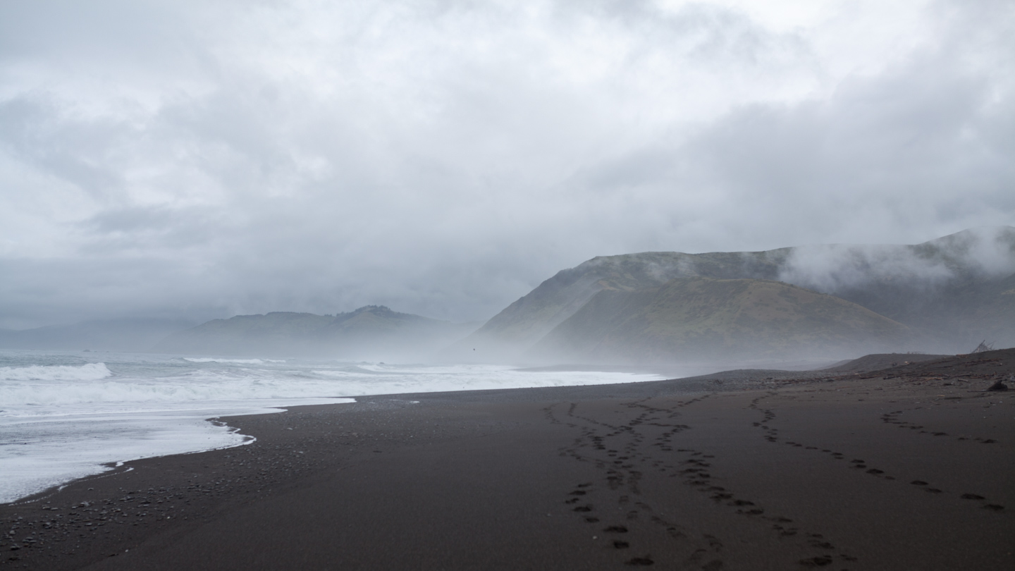
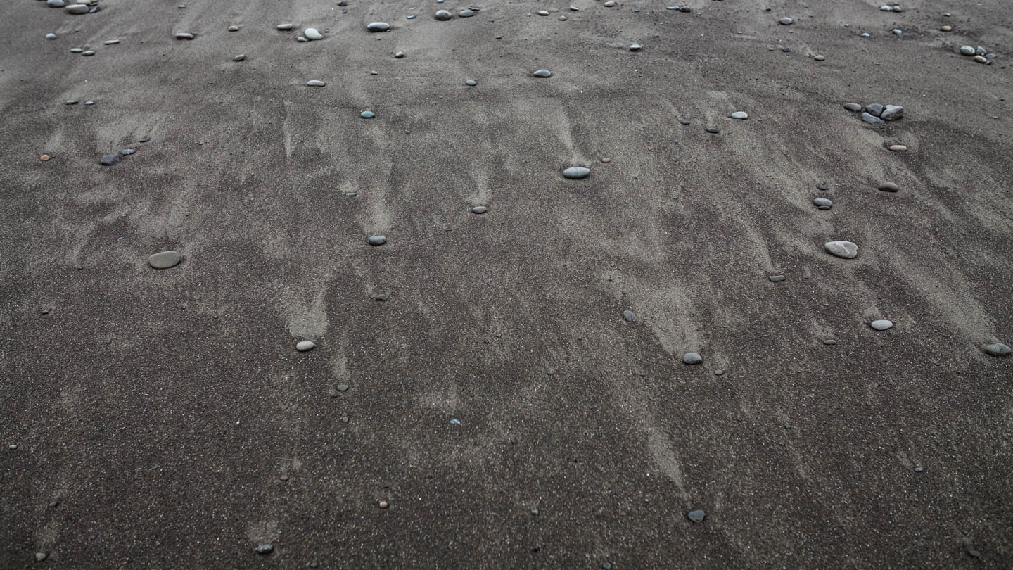
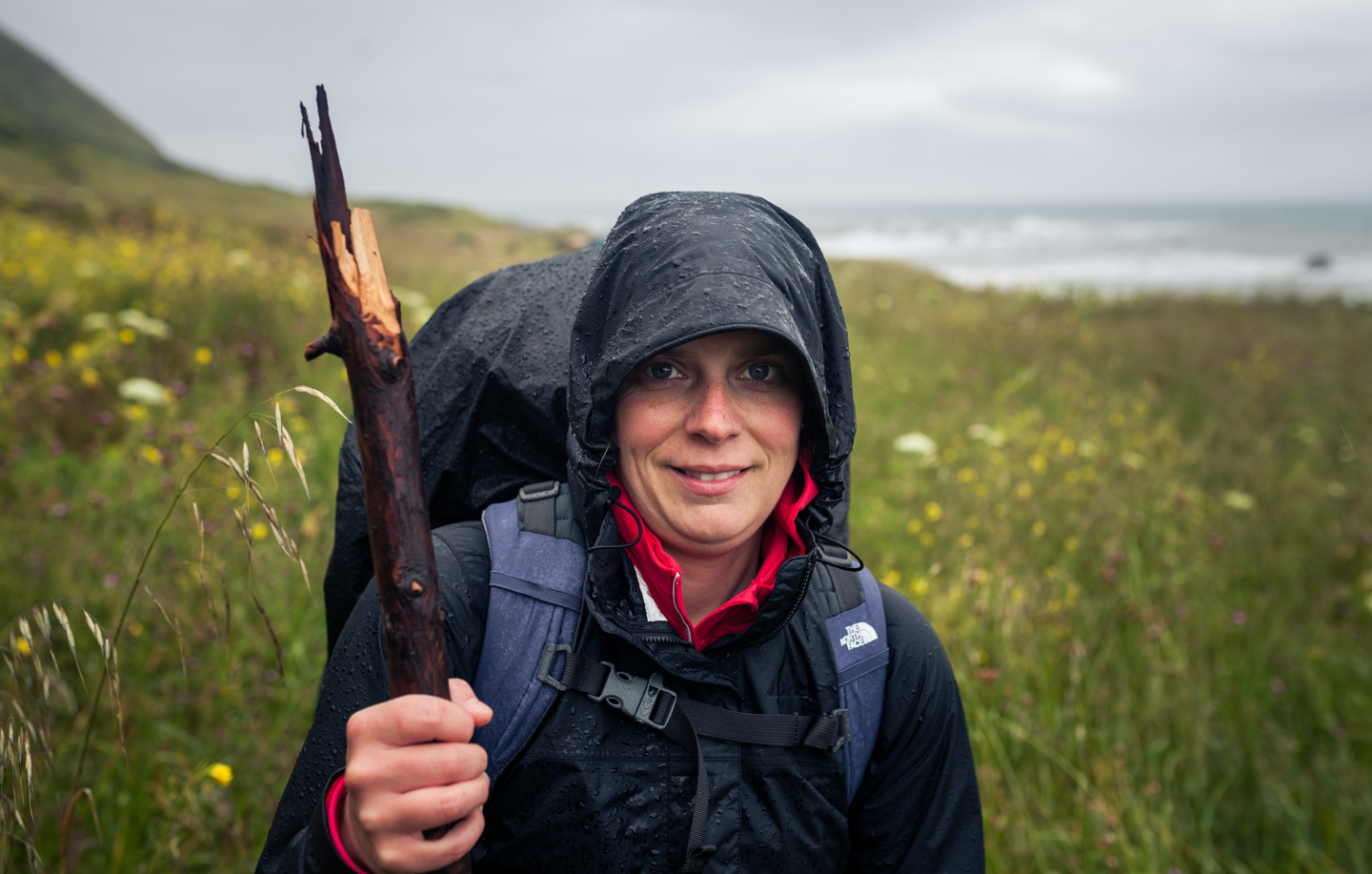
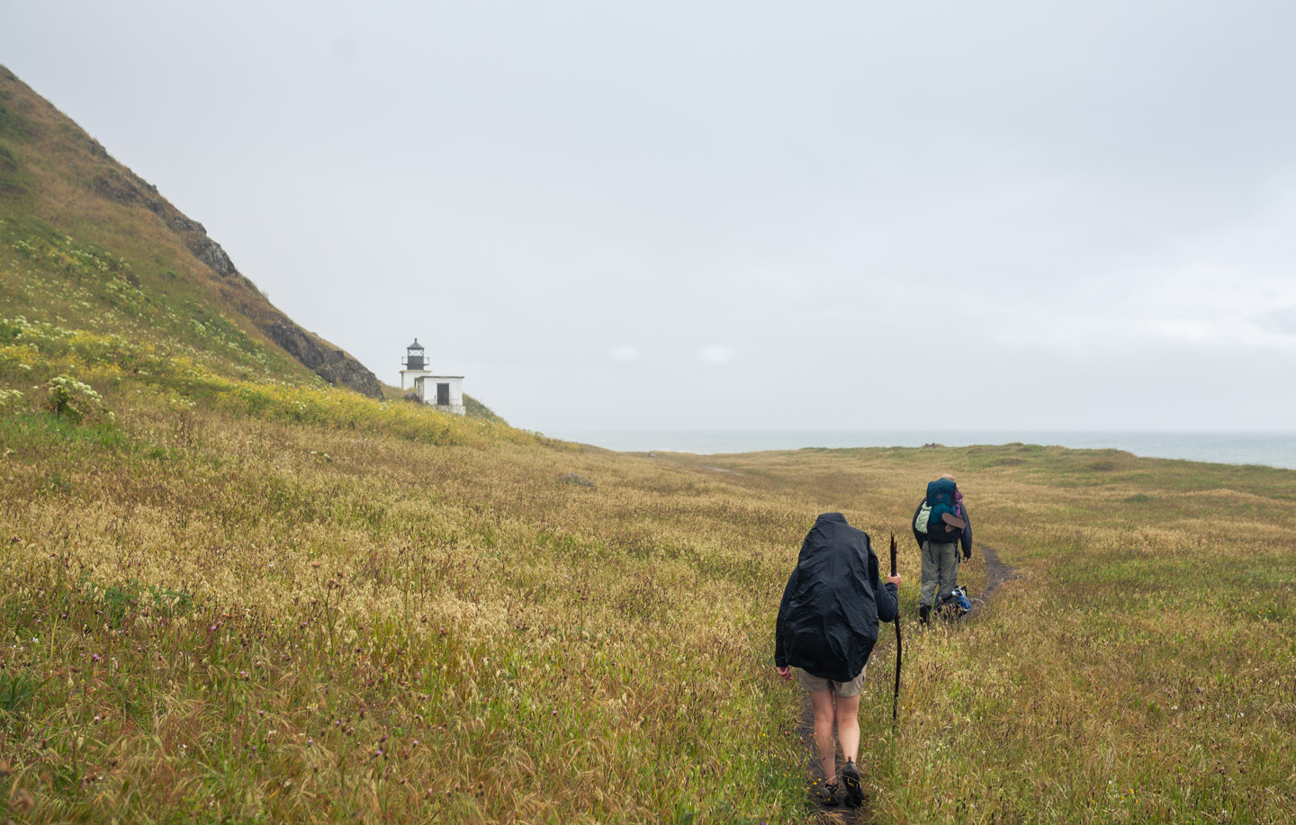
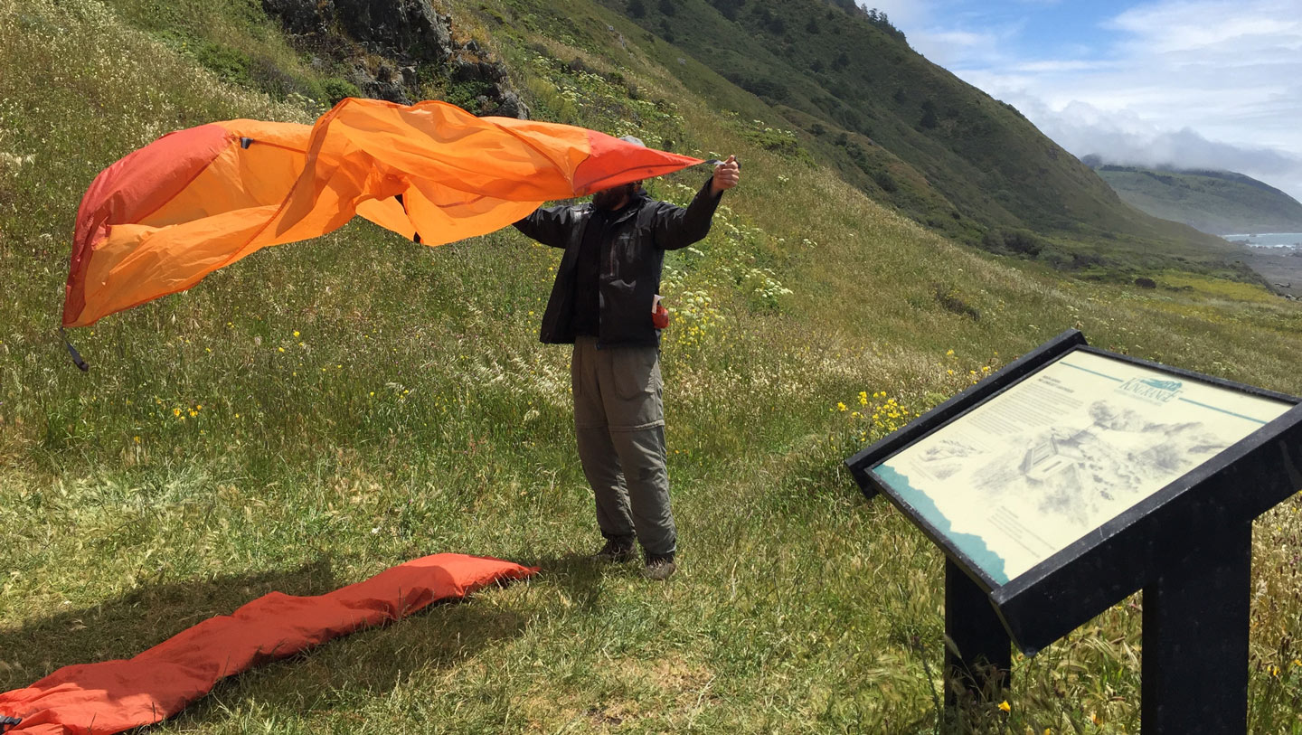
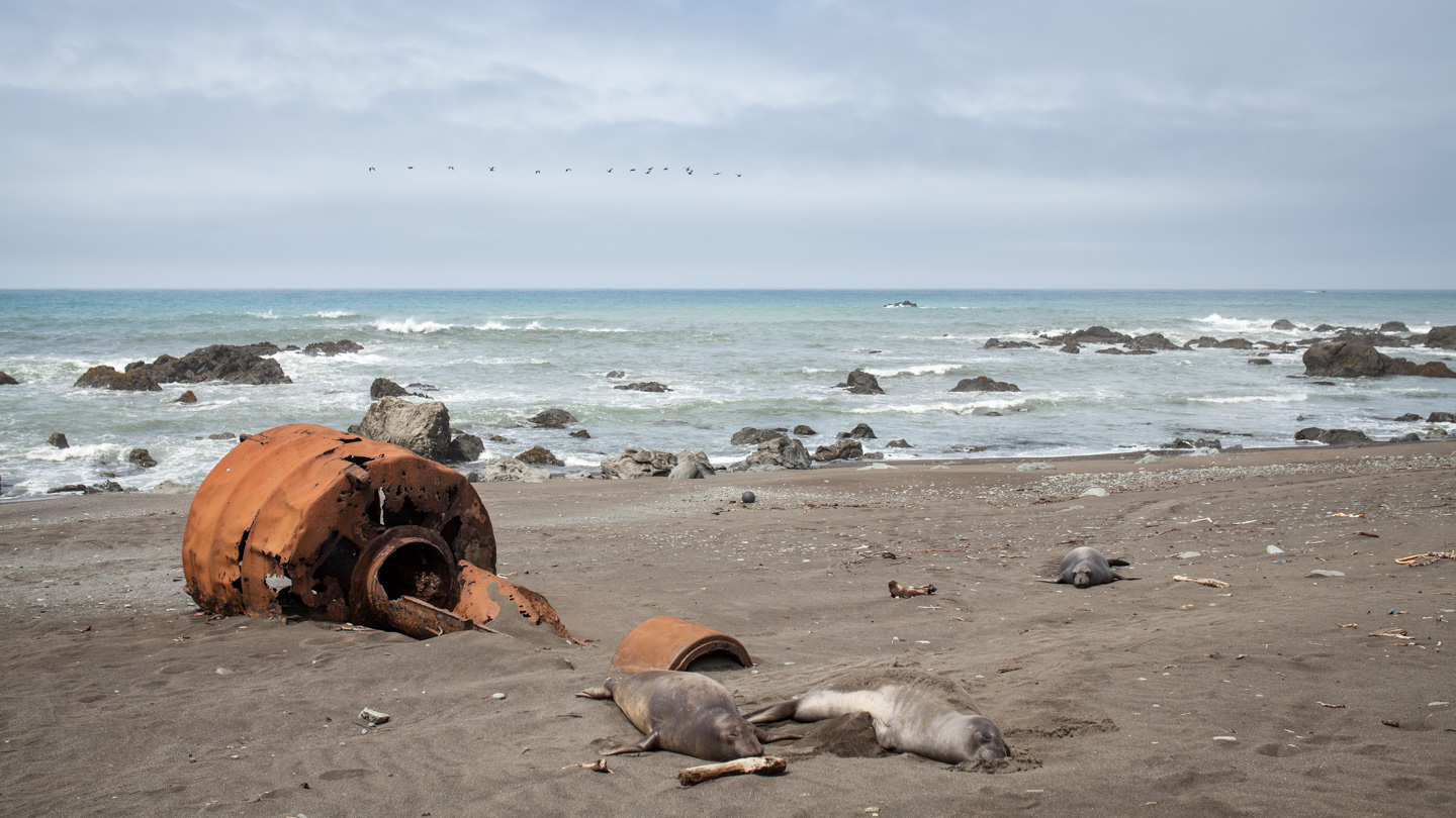
The terrain was mostly deep, wet sand which made the footing challenging. After hiking for about 2 hours (3.7 miles) in the wind and rain we reached the Punta Gorda Lighthouse. There wasn’t much left of the lighthouse but it was the perfect place to get out of the elements and dry off. Like most lighthouses this one had been discontinued and seemingly replaced by newer technology. The next section of trail was impassable due the high tide so we had to wait a few hours before we could continue on. I’ll admit I was much colder than I thought I would be at this point. I still wasn’t very excited about setting up a wet tent and crawling in, and I know Kristen wasn’t either. It was at this point the skies opened up and the sun came out. The weather completely changed and the rain stopped. We quickly unpacked our tents and laid them out to dry. Because the wind was still whipping pretty fast the tents were bone dry in 5 minutes, this couldn’t have worked out any better. The beach in front of the lighthouse was home to about 100+ elephant seals. They were spread out all over the place soaking up the warmth of the sun. I kinda felt like I wanted to join them. Once the tide turned we packed up all of our newly dried out gear and took off down the trail. Our destination was Spanish Flat. According to the map this was another 4 miles and was a good stopping point to set up camp for the night.
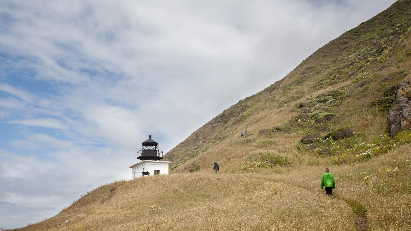
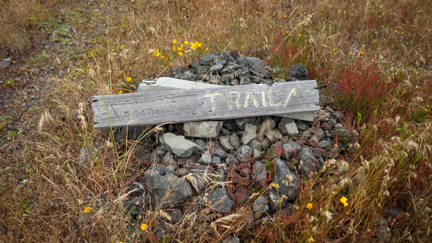
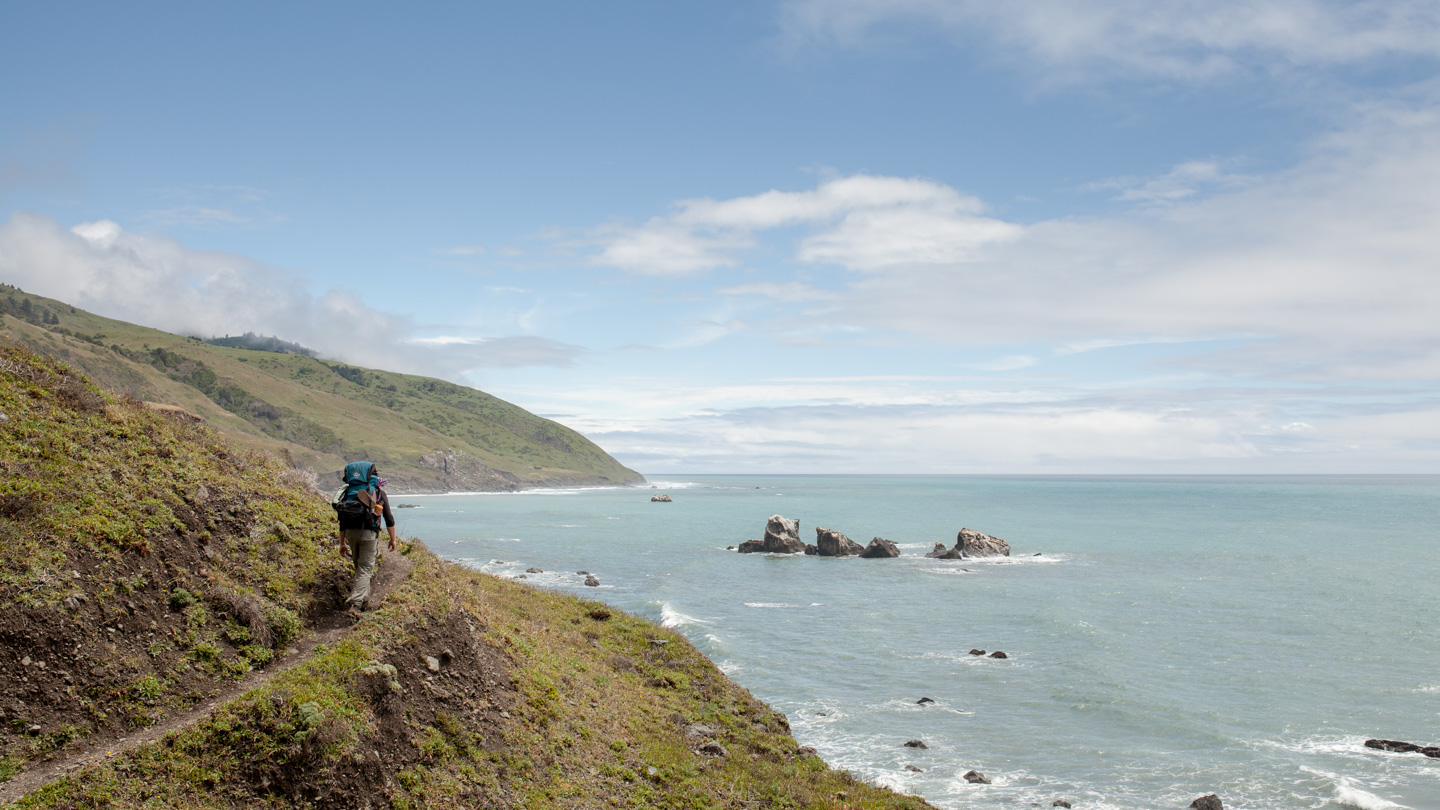
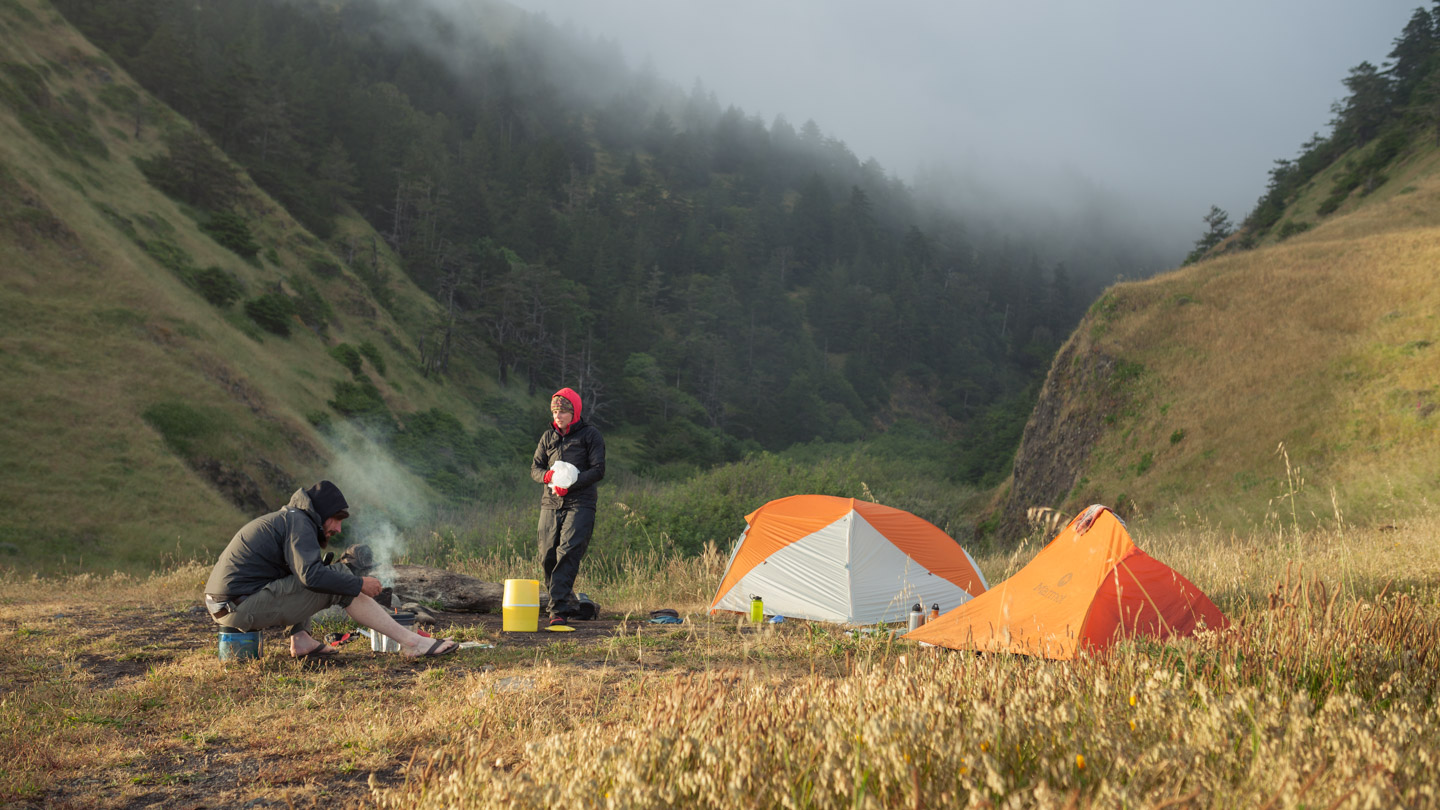
The terrain up until this point had been mostly sandy beaches with minimal elevation gain. The views from the high points were spectacular. You could see miles down the coast which gave an indication of what was ahead. It seemed like it took forever to reach Spanish Flat. The amount of times we weaved in and out on the coastline made for slow going and felt like we were making no progress. I kept telling everyone the camping area had to be just around the next corner. Well after about 10 more “corners” we finally arrived at Randal Creek, the beginning of Spanish Flat, just past the impassable high tide point. It looked like a perfect spot for camping. There was one other solo hiker there before us relaxing by the edge of the water. We grabbed the only spot that had a make shift fire pit and the only area with substantial flat ground. It started raining as soon as we arrived but quickly stopped. None of us were keen on the idea of setting up in the rain and quickly retreating to our tents. The only wood around was half burned and wet. Without hiking up into the woods or combing the beach for driftwood our chances of having a fire was slim to none. I think we were all pretty tired from a full day of hiking so we cooked up some food, sipped on some whiskey and headed for the tents. It felt good to lay down and stretch out.
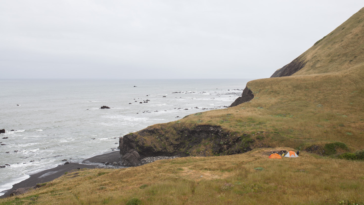
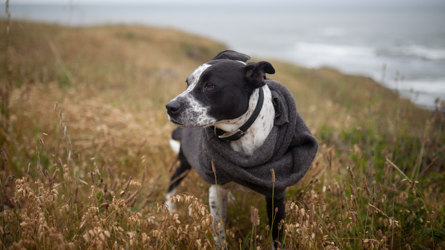
Nelly (turtle) loves her L.L. Bean sweater.
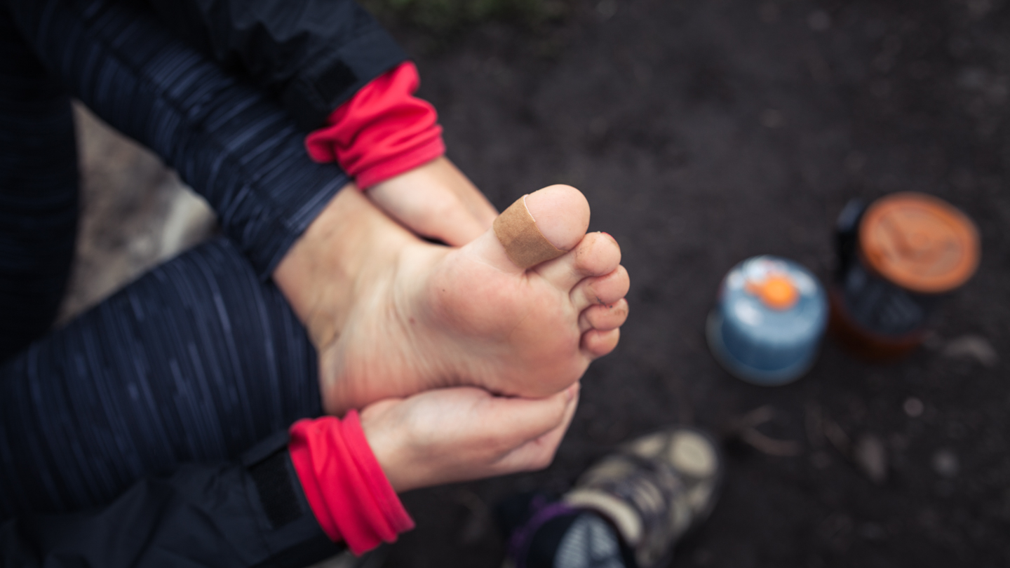
Day 2: Spanish Flat to Miller Flat
I was hoping for a sunrise that morning but as soon as I unzipped the tent I realized we were fogged in. I slept well and so did Kristen, we were both pretty tired after a long first day. I only had one tick on me which was surprising considering they were everywhere. Nelly had a bunch of ticks on her and that’s probably why Eben was pulling them off his clothes all morning. We had oatmeal for breakfast and did our morning chores. We had to load up on water since there were only a few select places we could filter. Randal Creek is one of many creeks along the coast that provided suitable drinking water.
The terrain started off nice and easy which made for a great way to ease back into hiking shoes. The footing at the start of the trail was very soft and at times transitioned to rocky terrain. The Spanish Flat was a nice change of pace and seemed to be the only part of the trail so far that had a discernible path. The first few hours were flat and meandered through golden fields of grass with mountainside sloping right down to the edge of the ocean. Although it was foggy the scenery was fantastic.
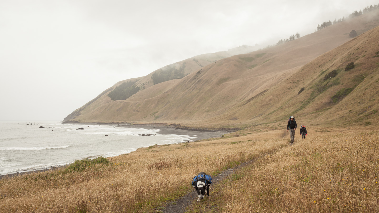
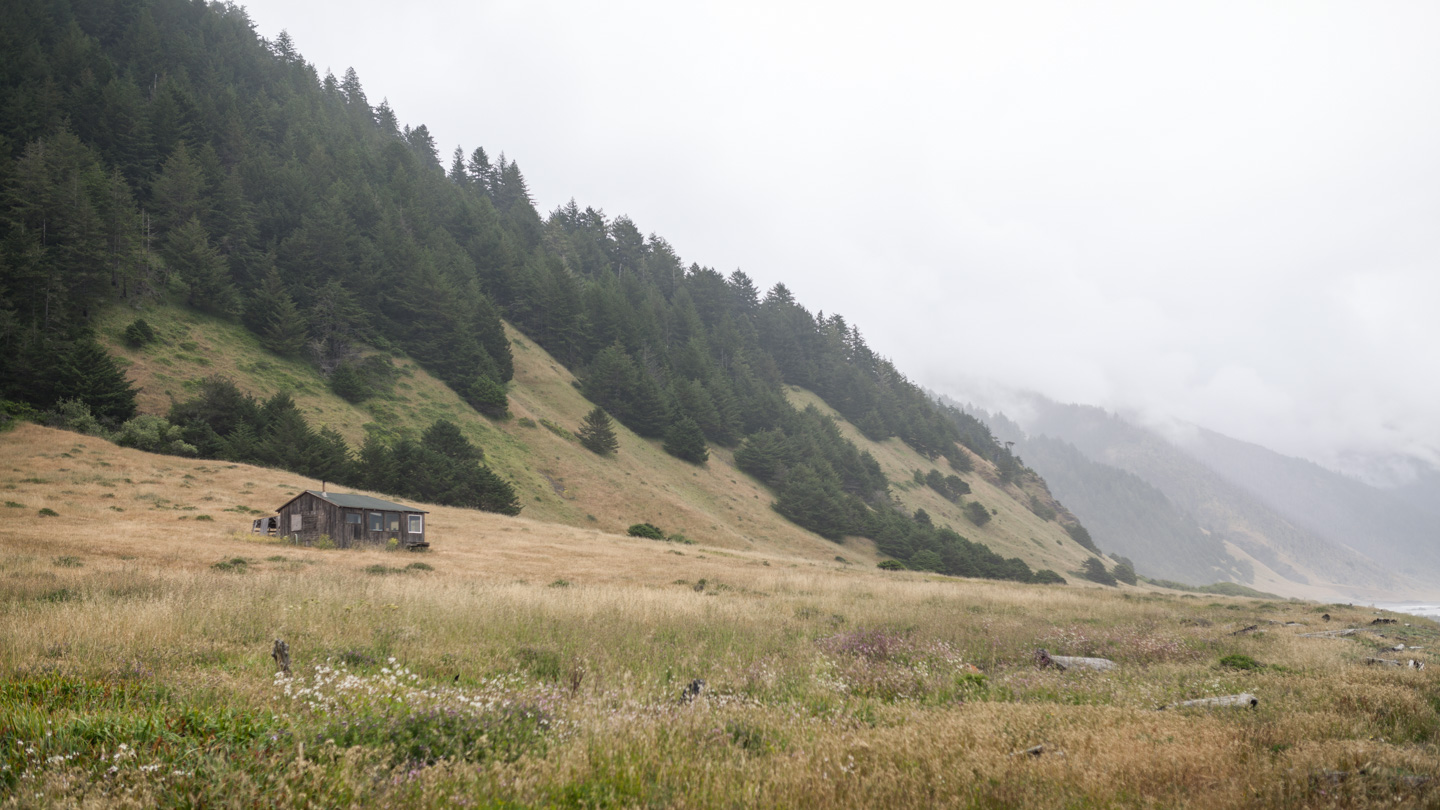
Every so often we would come upon a cabin nestled on the side of the slope, some nicer than others. There were about 4-5 on the entire hike and each one was immediately inviting. I could picture myself coming out here and spending the days reading, writing, and disconnecting from all of life’s distractions. No emails or text messages, just a beautiful view of the coast with no interruptions. There is something very appealing about this, I think it would be the perfect catalyst to jump start the meditation practice I’ve been thinking about.
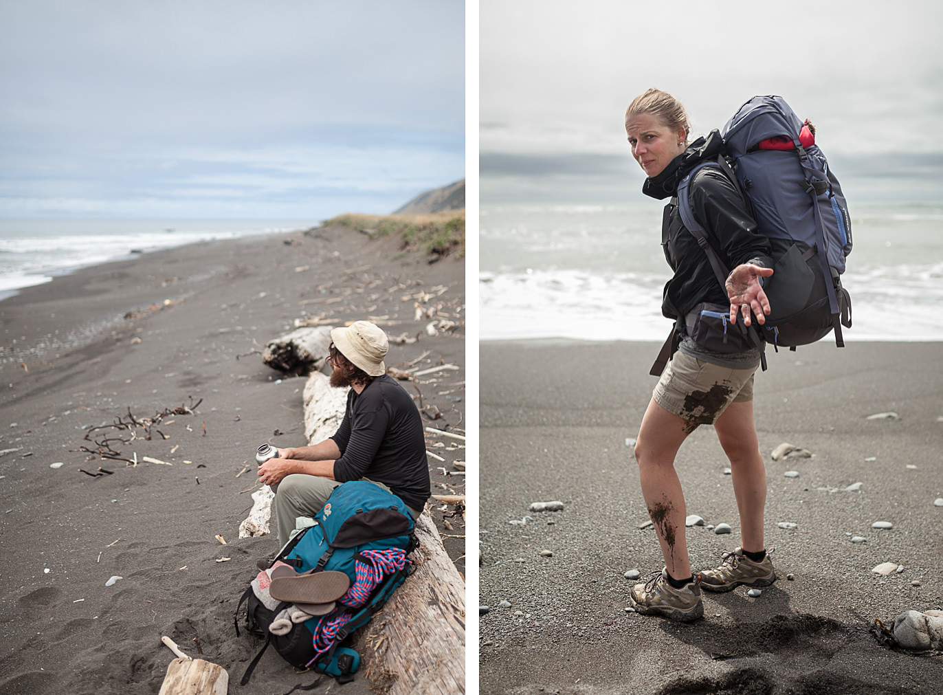
There were sections of the trail where we would just stop and stare out into the ocean. We were in absolutely no rush to make it to our next destination so we took every relaxing opportunity we could. The only reason we had to keep track of time was for the tide table, other than that it didn’t matter.
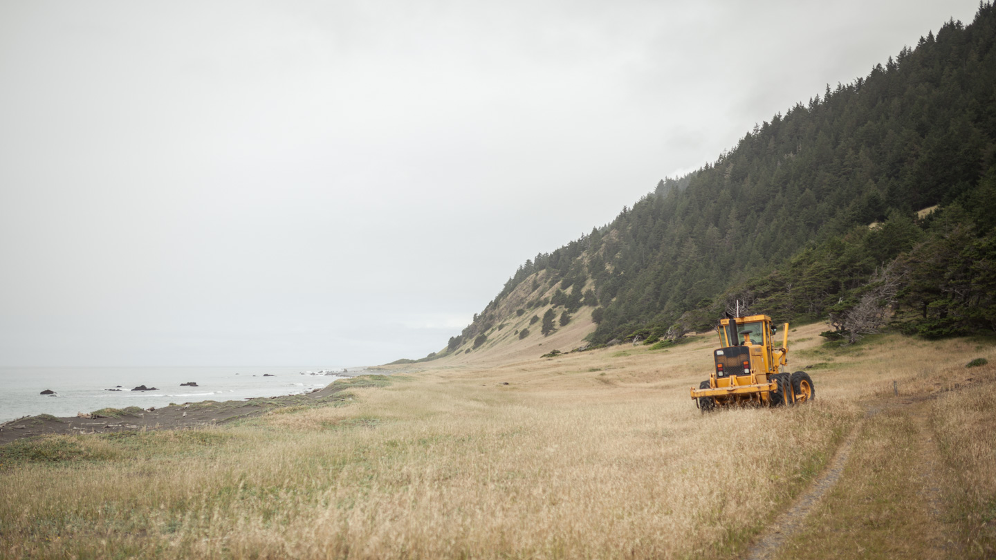
It was odd to see a road grader out here in the middle of nowhere, its not something you would expect in such a remote area. It looked like someone had cleared a road down the side of the mountain to gain access to the coast. I’m guessing it was done when the threat of forest fires was a major concern for this area of the coast.
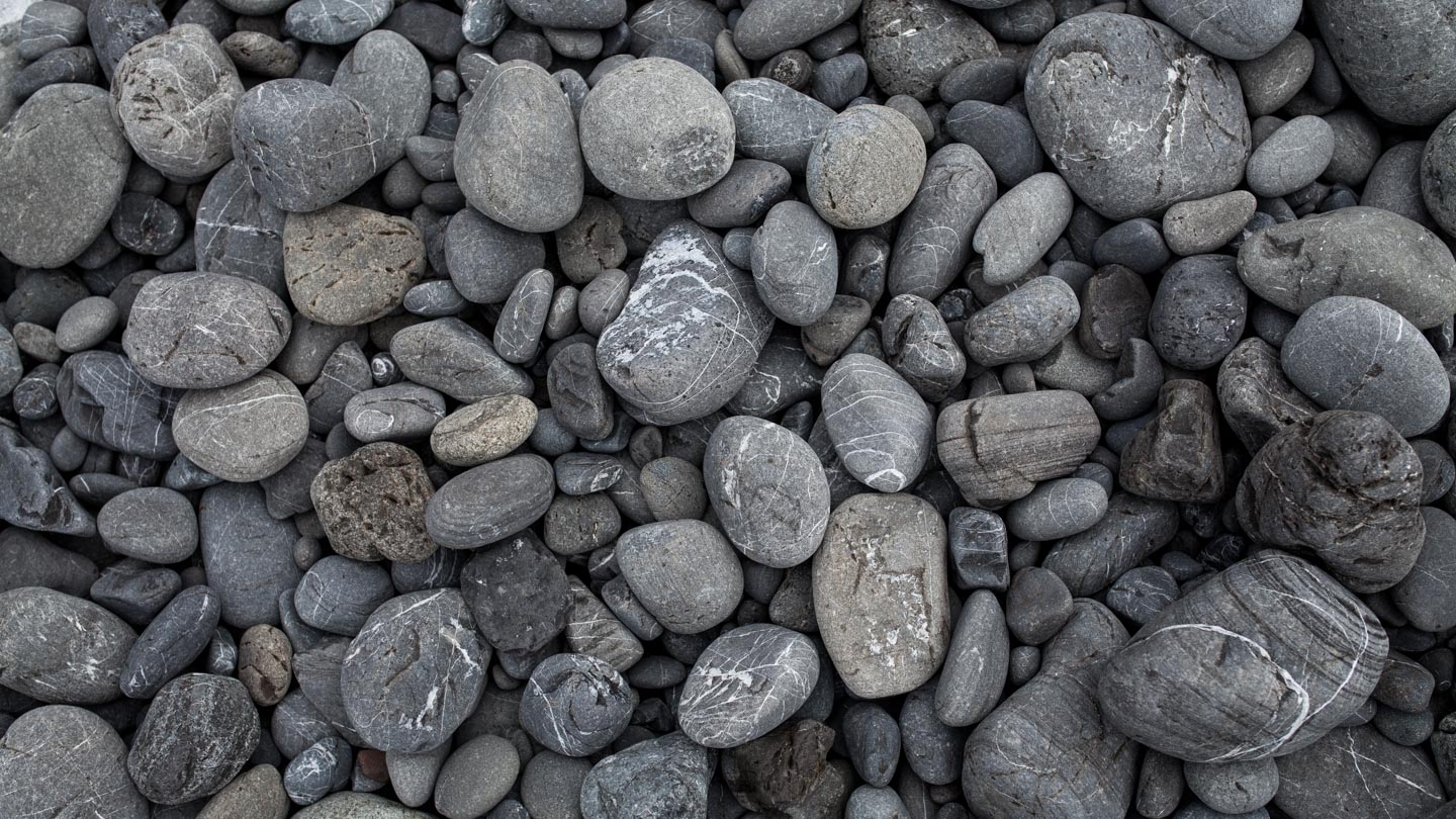
Miles and miles of rocks.
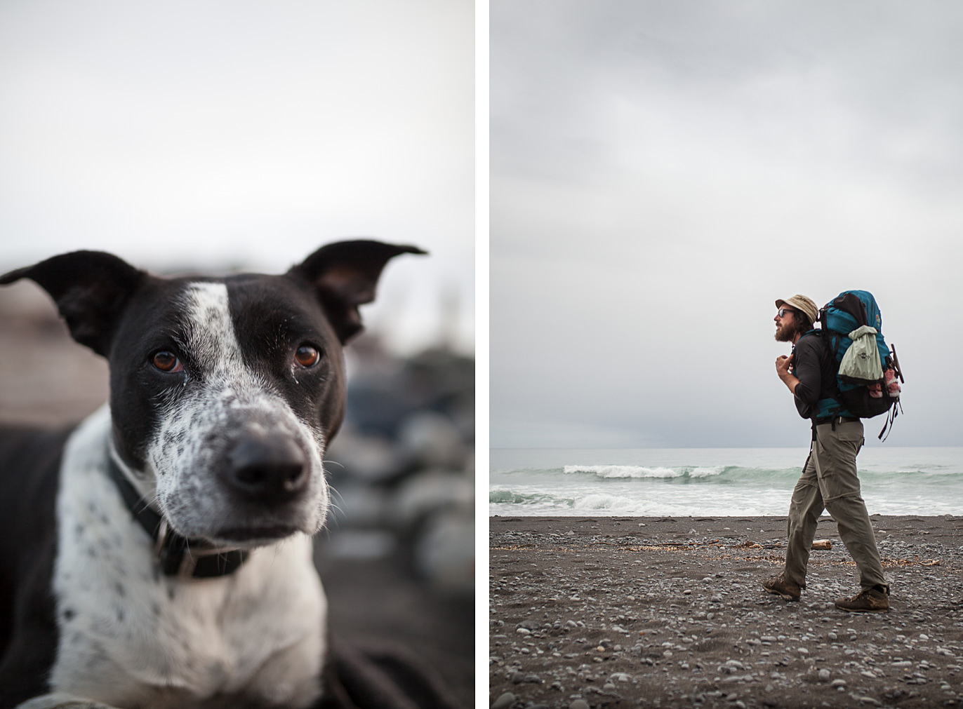
Click here for The Lost Coast Trail – Part 2
