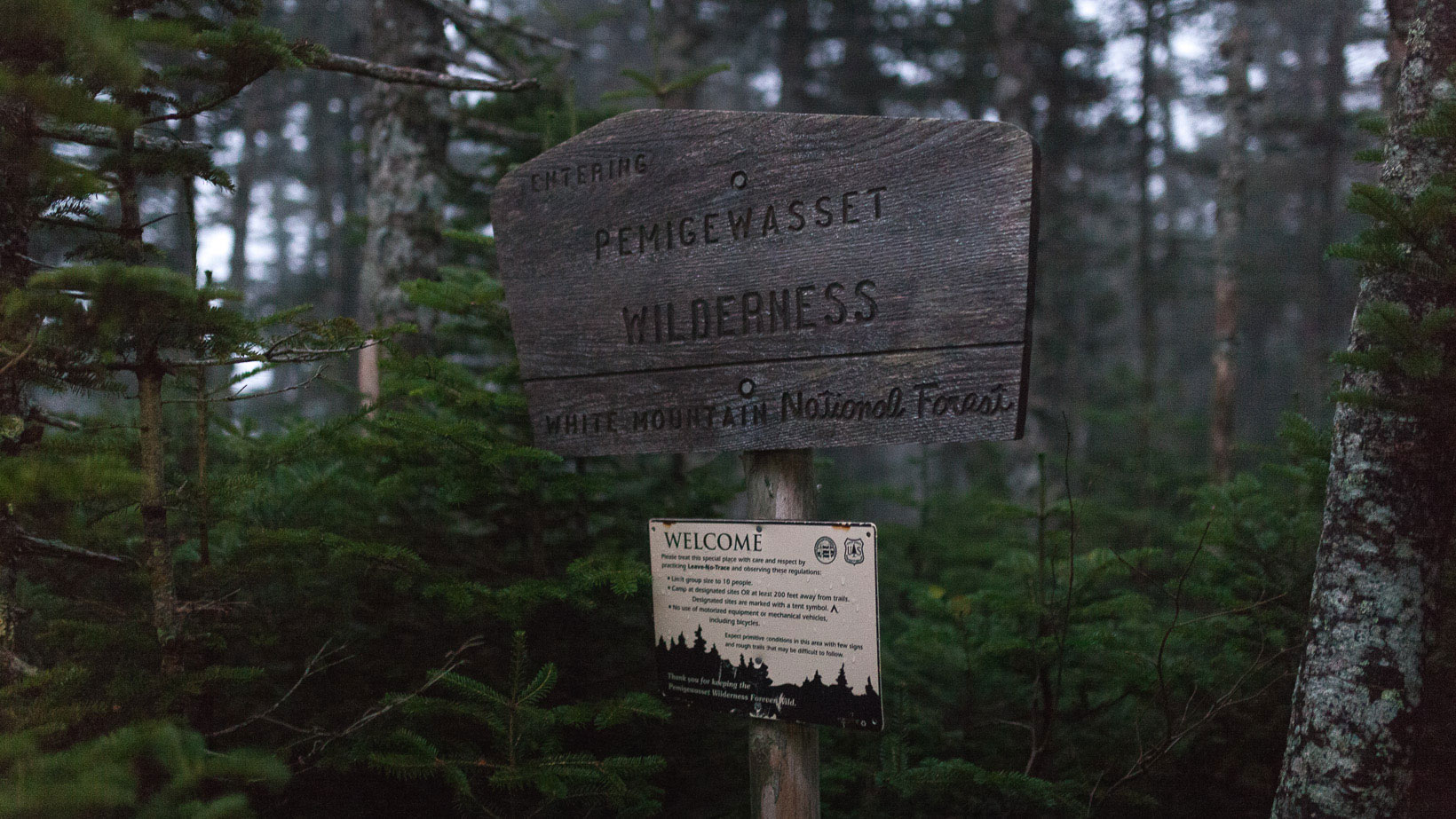
Hiking the Pemi Loop had been on my mind for a while and I finally made the time to do it. It was always a daunting prospect for me due to the considerable elevation gain with more combined mileage than I had hiked in one trip. For those of you that don’t know, the Pemi Loop is a 31.5 mile loop that stretches around the Pemigewasset Wilderness and consists of eight 4,000 ft summits (plus four “optional” peaks) and over 9,000 ft of elevation gain. I’m guessing this is why Backpacker Magazine named it America’s second hardest day hike. There was no way I was doing this thing in one day, four days sounded much more my speed.
Trip Plan
- Day 1: Lincoln Woods Visitor Center > Liberty Springs Tent Site: 7.5 miles
- Day 2: Liberty Springs Tent Site > Galehead Hut: 11 miles
- Day 3: Galehead Hut > Guyot Shelter: 8 miles
- Day 4: Guyot Shelter > Lincoln Woods Visitor Center: 11.5 miles
Day 1:
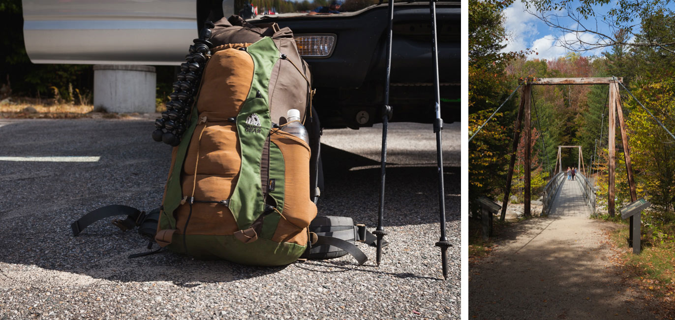
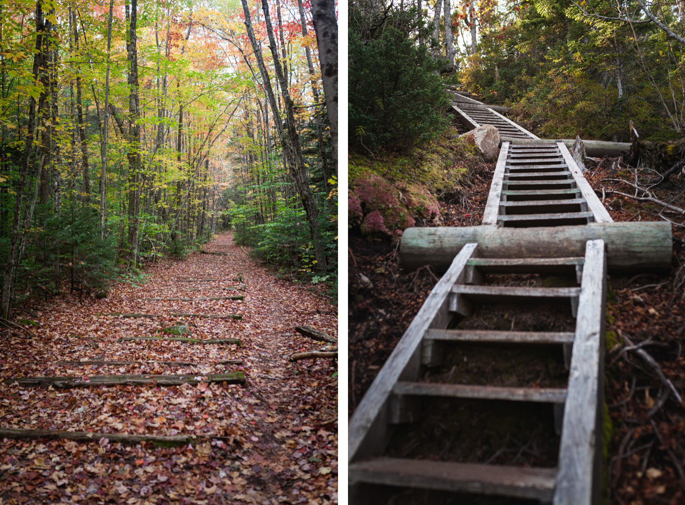
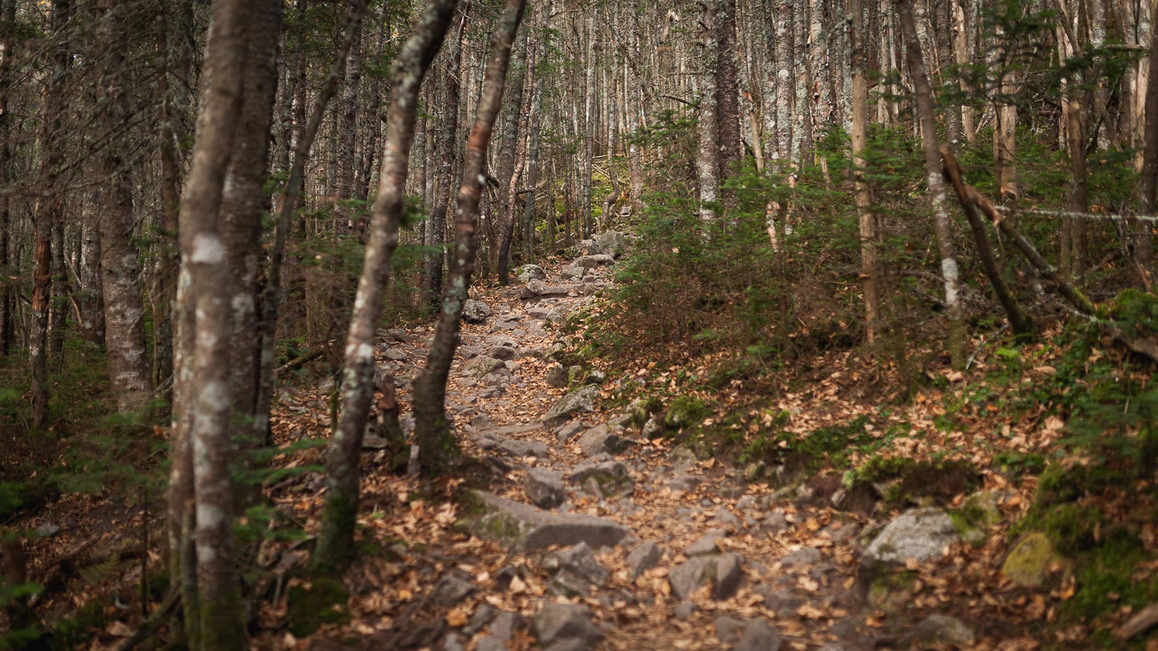
I parked at Lincoln Woods Visitor Center and finished packing my bag in the parking lot. It was Columbus Day weekend and I expected there to be a lot of foot traffic on the trails so I started this trip mid week. It was almost peak foliage and there was guaranteed to be swaths of leaf peepers running around with their selfie sticks. Hopefully I would avoid all that. I signed in at the ranger station and headed across the suspension bridge to the start of the trail. The first few miles of the trail follow an old rail road bed that was once used to haul wood out of the forest. Its long, flat, and straight.
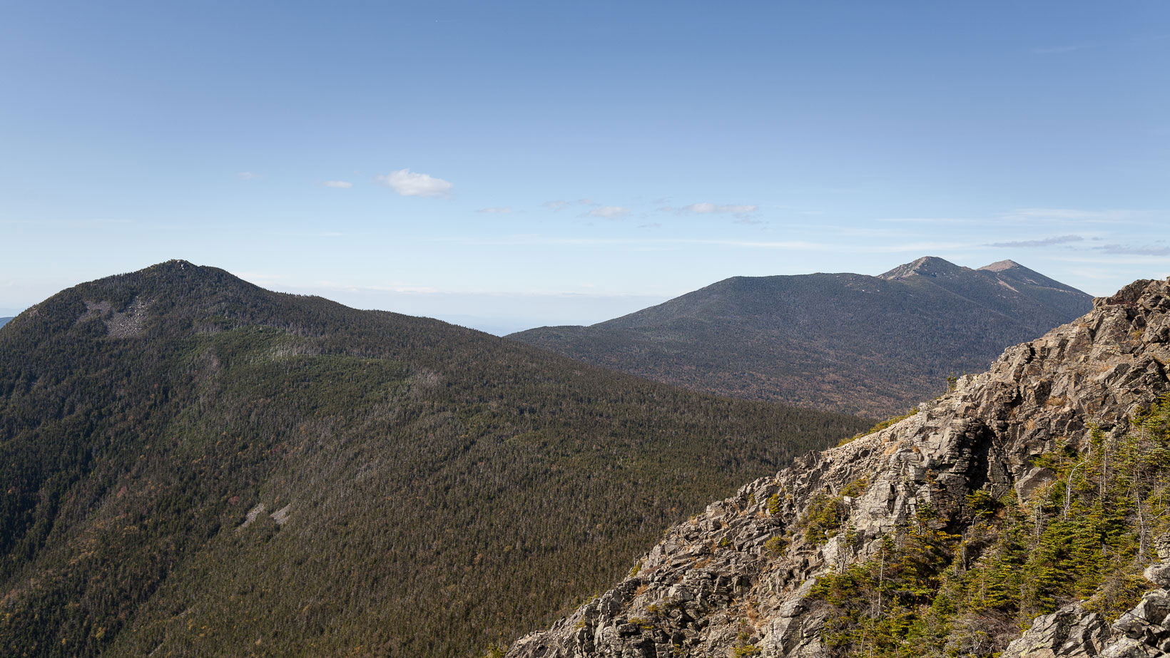
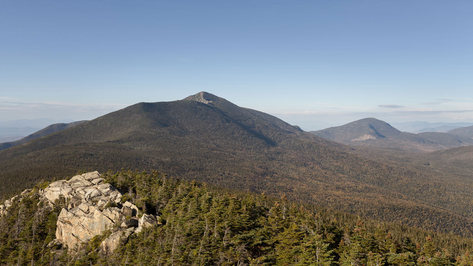
After about three hours of hiking I reached the summit of Mt. Flume (4,328 ft.). This was my first opportunity to see the scope of the hike I was about to undertake. I won’t lie, I was taken aback by the shear scale of the mountains, they seemed endless. The mountains in the distance looked really far and the notion of bailing out immediately crossed my mind. That thought evaporated quickly as I descended Flume and began the 1.2 mile trek to the summit of Mt. Liberty (4,459 ft.).
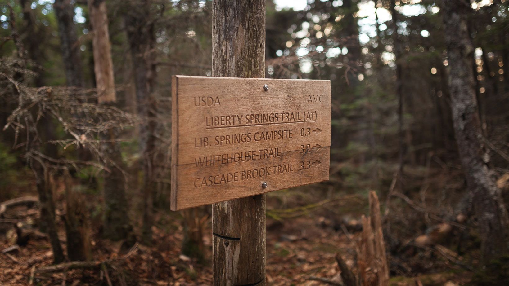
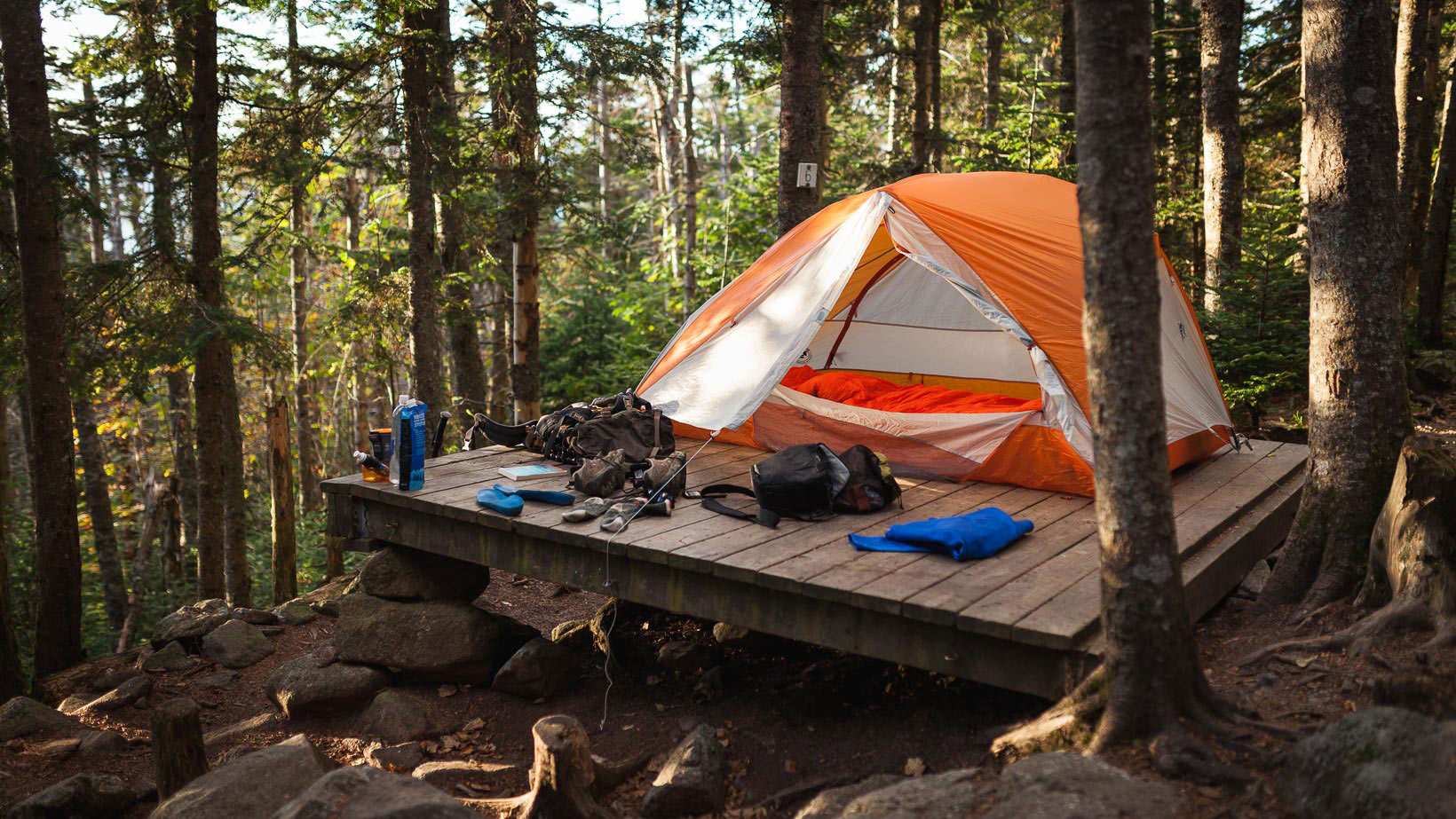
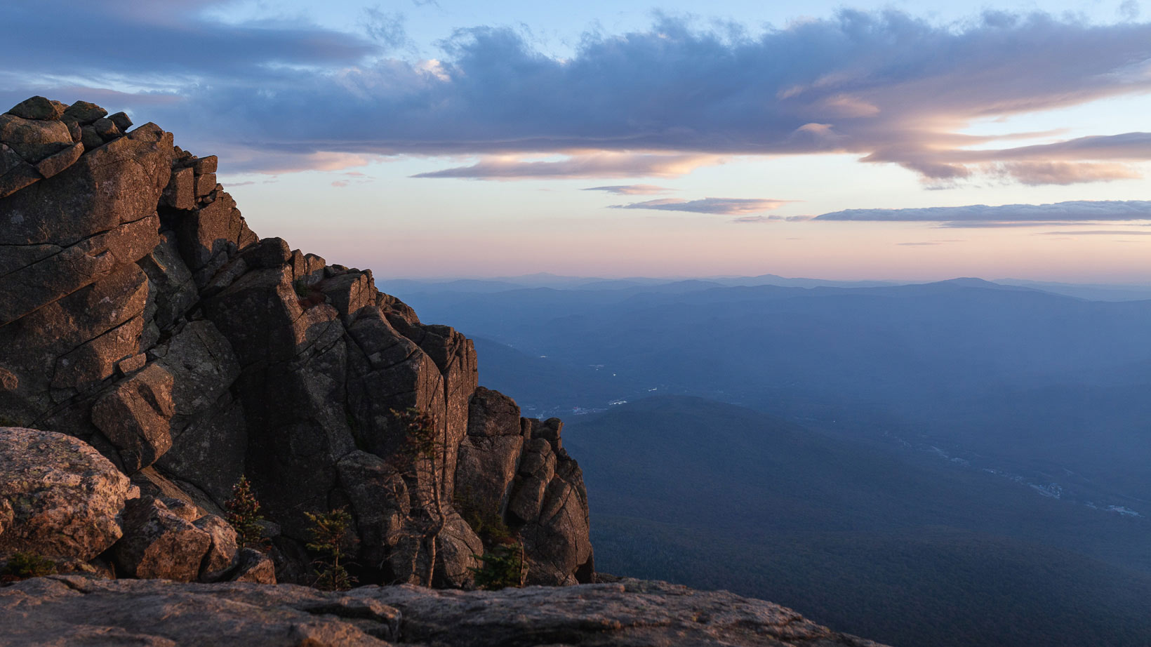
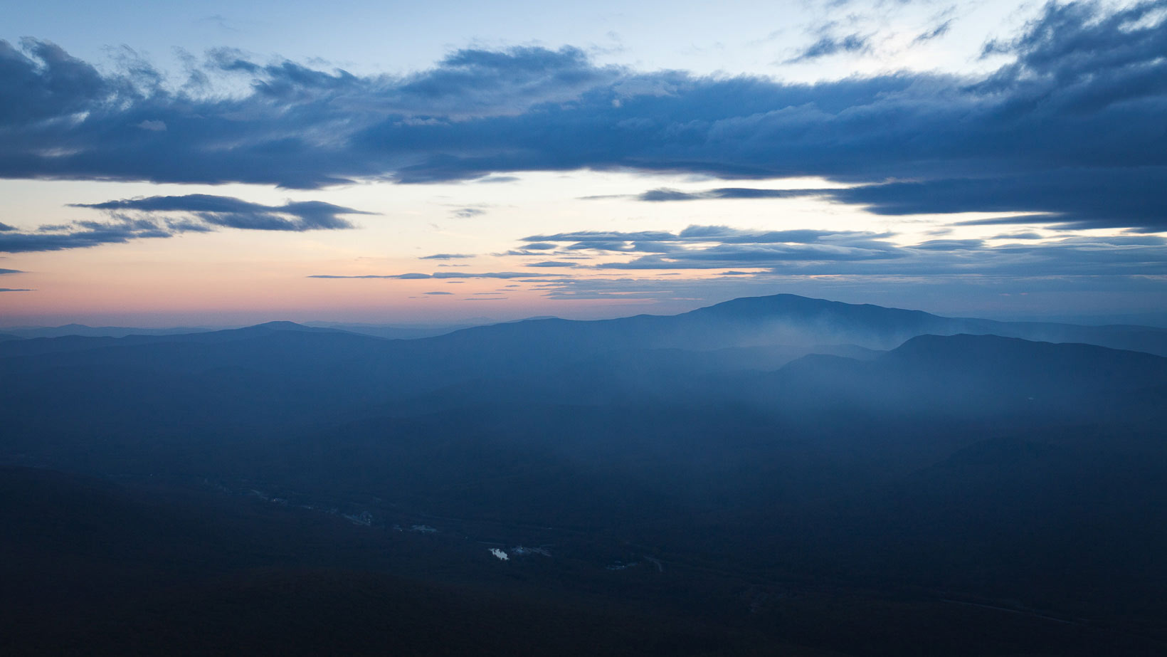
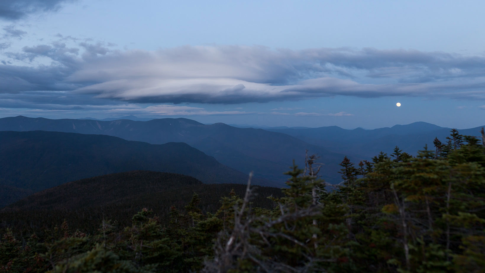
Arriving at the summit I could finally see Franconia Ridge and the hike I had ahead of me the next day. In the distance I could see Mt. Garfield and I knew tomorrow would not be easy. I dropped down into the Liberty Spring Tent Site and grabbed one of the open tent platforms. There were a few people camped for the night but otherwise it was fairly quiet. As soon as I had everything setup, I hiked the half mile back up to Liberty to catch the sunset and take a few pictures. As I was descending, I noticed the full moon lit up by the setting sun. It seemingly came out of nowhere and I spent the next half hour sitting there taking it all in. Little did I know it would be one of the last clear nights I would have on the whole trip.
Day 2:
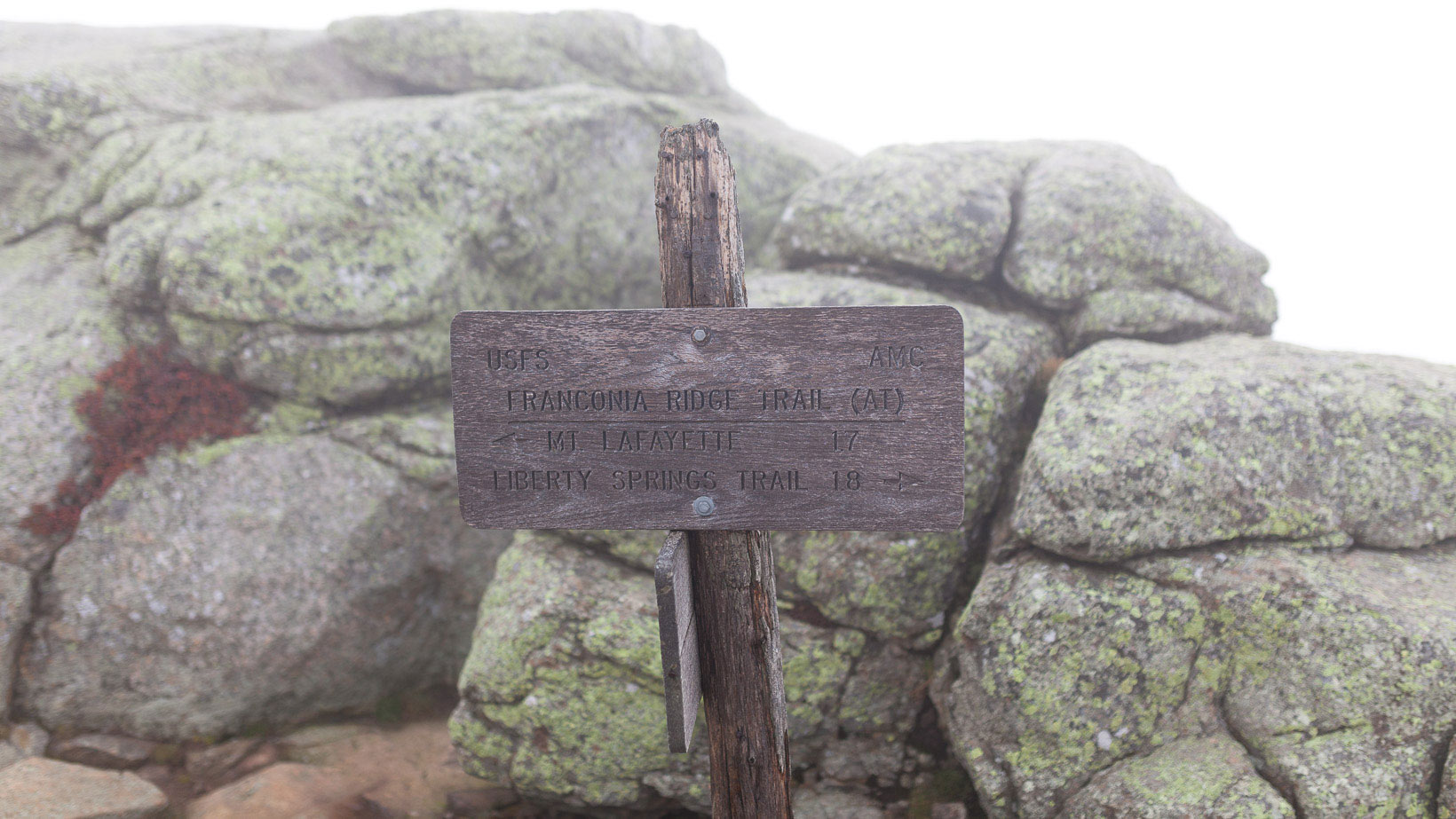
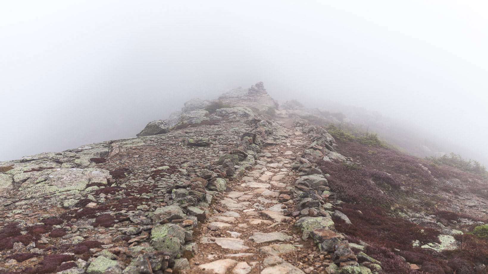
I woke up early with the intention of hiking back up to Liberty for the sun rise but quickly decided to save my energy and not overdo it in the first 24 hrs. I packed up my gear and again hiked back up to the trail junction. Lincoln (5,089 ft.) was 2.5 miles from the trail junction and I knew there would be nothing to see. It was foggy. The hike over Franconia Ridge is supposed to be one of the best and busiest hikes in the White Mountains, I only saw one other hikers and had no views.
As I crested the summit of Lincoln, the atmosphere was ethereal. I had no concept of scale and could only make out twenty feet in front of me. Every so often the fog would break and the elevation quickly became apparent. As soon as it appeared, it was gone. This continued as I hiked the remaining mile to the summit of Lafayette (5,260 ft.). The trail junction just beyond Lafayette was a good stopping point so I had a snack and put on my rain coat to help break the wind. The fog opened up for at least two minutes, it was enough time to see Mt. Garfield and the impending terrain I had in front of me.
I still had around 5 miles until I could take my pack off at Galehead Hut; the only thing standing in my way was Mt. Garfield. This was supposed to be the hardest section of the Pemi Loop and from my vantage point that assumption appeared correct. The drop down into the notch was steep and my legs started to burn immediately. Thankfully the poles I was using really helped take the edge off.
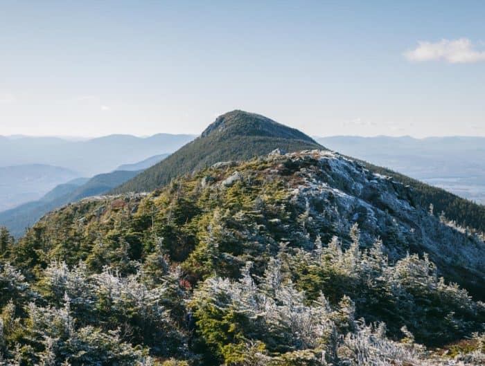
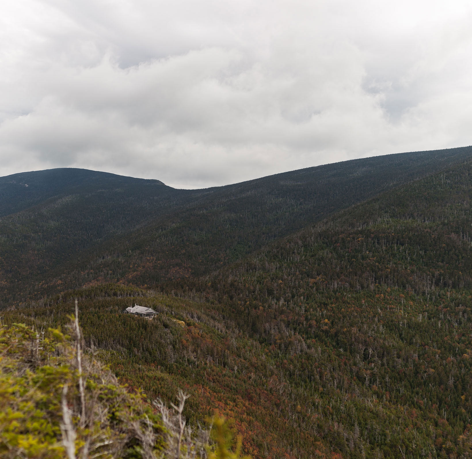
The ascent up Garfield was entirely wooded and seemed to go on forever. The next bend in the trail crested the top of the summit and I was surprised that I was already on top. What a welcome sight that was. The view stretched out across the entire Pemmigawasset Wilderness. It was incredible. For the first time, I could see the Pemi Loop in its entirety and it was unbelievably vast. I felt so small compared to everything around me.
I could see Galehead Hut from the summit and it was a welcome sight. As I was heading down the trail I stopped for some water and met a guy who was trail running the loop in one day. He was just the first of many I ran into that were all “running” the loop. I commend anyone who accomplishes that feat in one day, its pretty amazing. I slogged on for another few miles until I reached the .25 mile sign to Galehead. As soon as I reached the hut I dropped my pack and sat down for the first time all day. It felt amazing. I was exhausted. I was now at the halfway point and knew I could finish this.

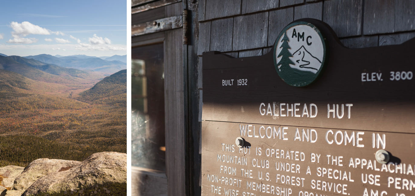
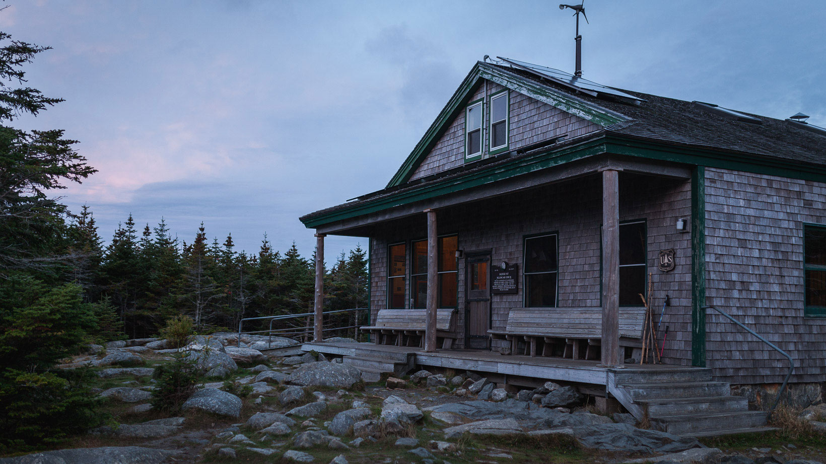
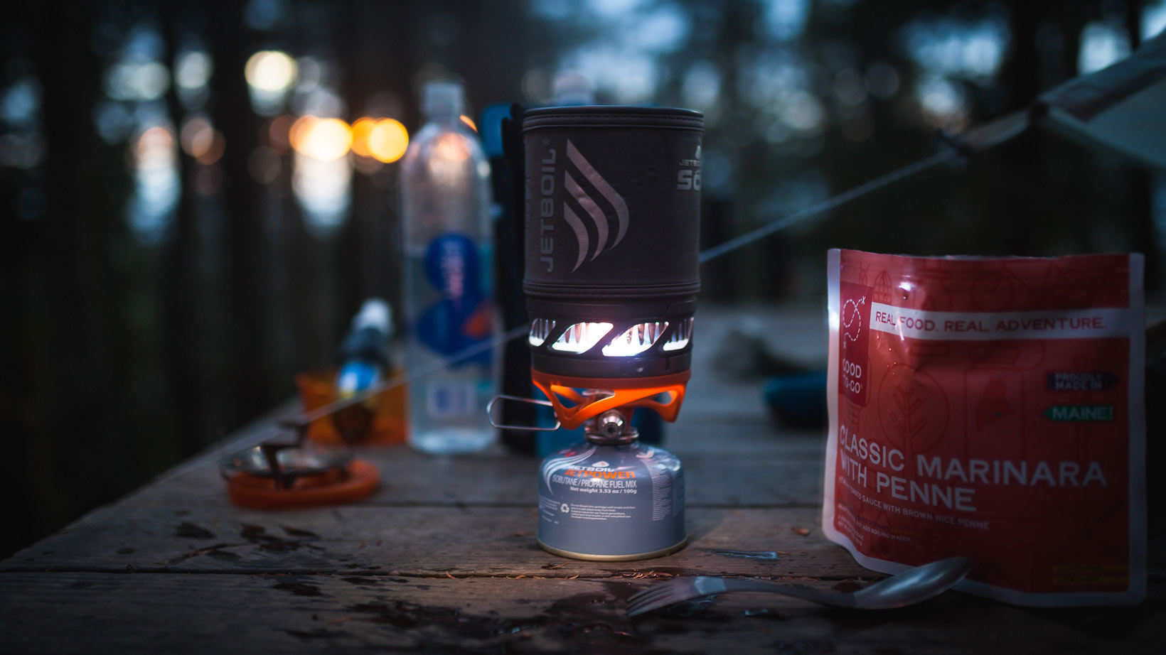
It was a bit of a luxury to stay here for the night but when I was planing the trip I figured a warm meal and a bed would hit the spot. It did. There were only eleven people staying that evening and we all ate together family style around the table. I’m always intrigued by the people I meet who are all out in the middle of the wilderness seeking the same adventure. I have some of the best conversations with people I’ve never met but seemingly all have the same interests.
Day 3:
For some reason I never sleep well when I’m backpacking, I don’t know why. Being as tired as I was the previous day I thought I was in for a sound sleep but there was a lot of tossing and turning. Breakfast was oatmeal, fruit, eggs, bacon, and pancakes. As soon as I finished, I headed out before the rain started and hiked the .4 miles up Galehead mountain.
Galehead was one of the four optional peaks on the Pemi Loop and I was aiming to hike all but one. I took a few pictures of the hut from the high point and glanced over to the South Twin, the next summit on the hike. In the distance, I could see the ridge I would be hiking and the elevation change didn’t seem very drastic. I was back at the hut just in time, the rain started coming down and the fog was moving in. The forecast called for early rain that would give way to overcast skies. Hiking in the rain wasn’t overly exciting so I waited an hour before I departed.
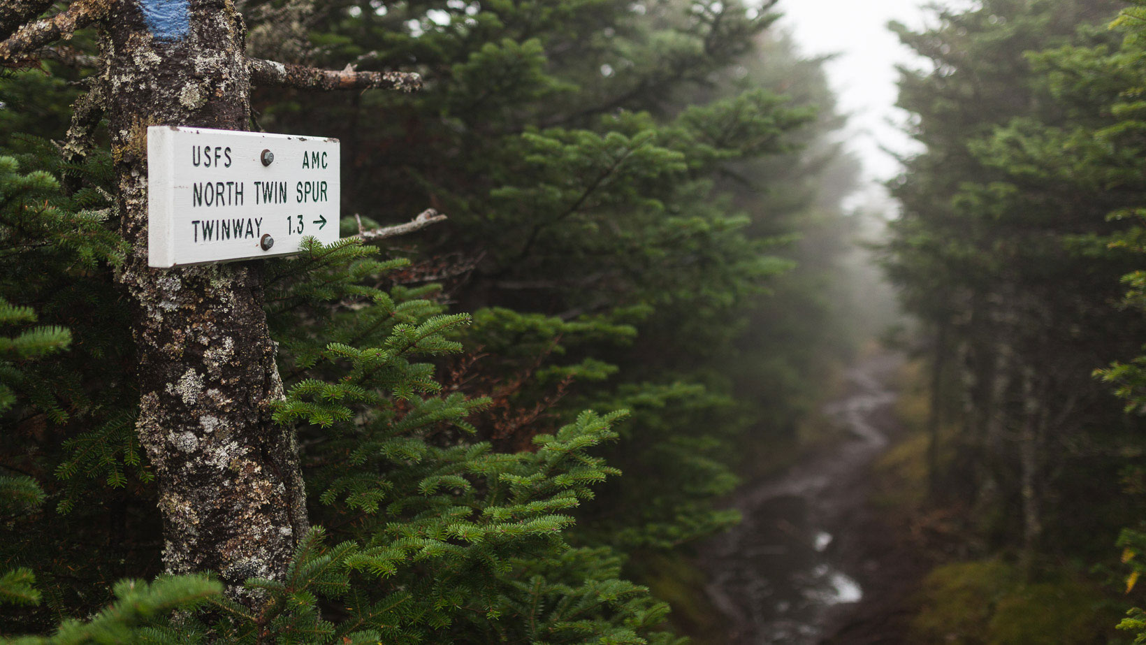
The hike up South Twin (4,902 ft.) was a straight shot. It was steep and there wasn’t a single turn in the trail; so much for switchbacks. As soon as I reached the summit, I dropped my pack and headed for North Twin (4,760 ft.). This was the second optional peak on my list and the third summit of the day. It was 2.4 miles round trip and without a pack I was aiming to do it in a little under an hour.
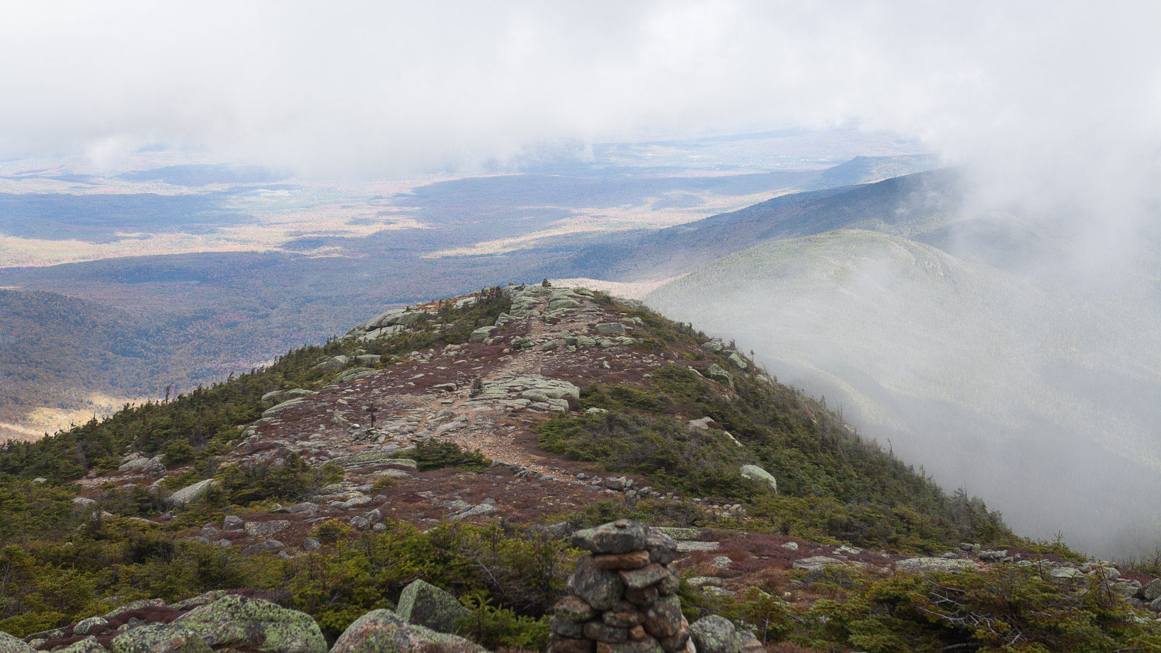
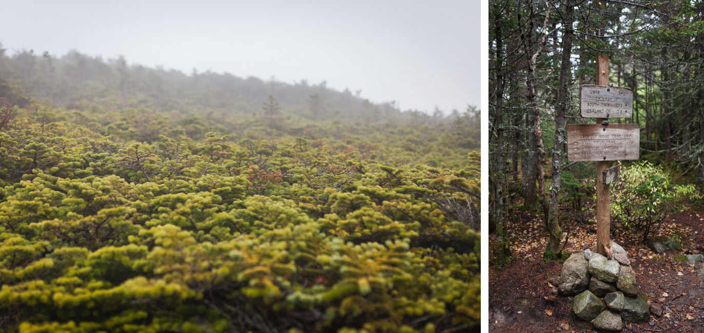
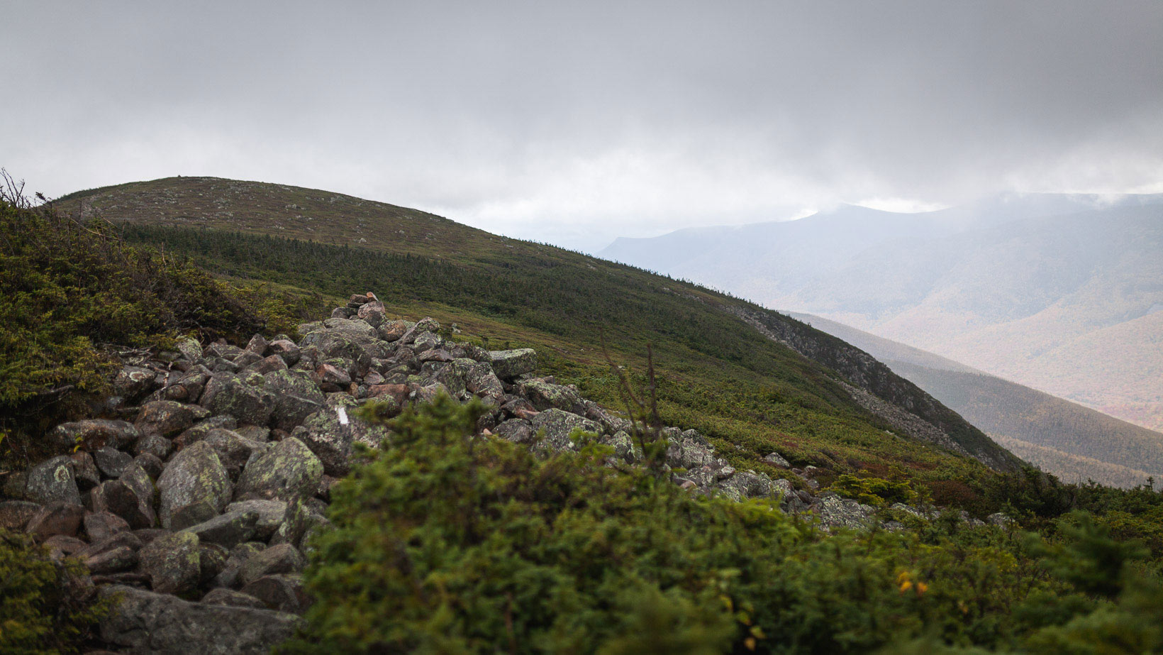
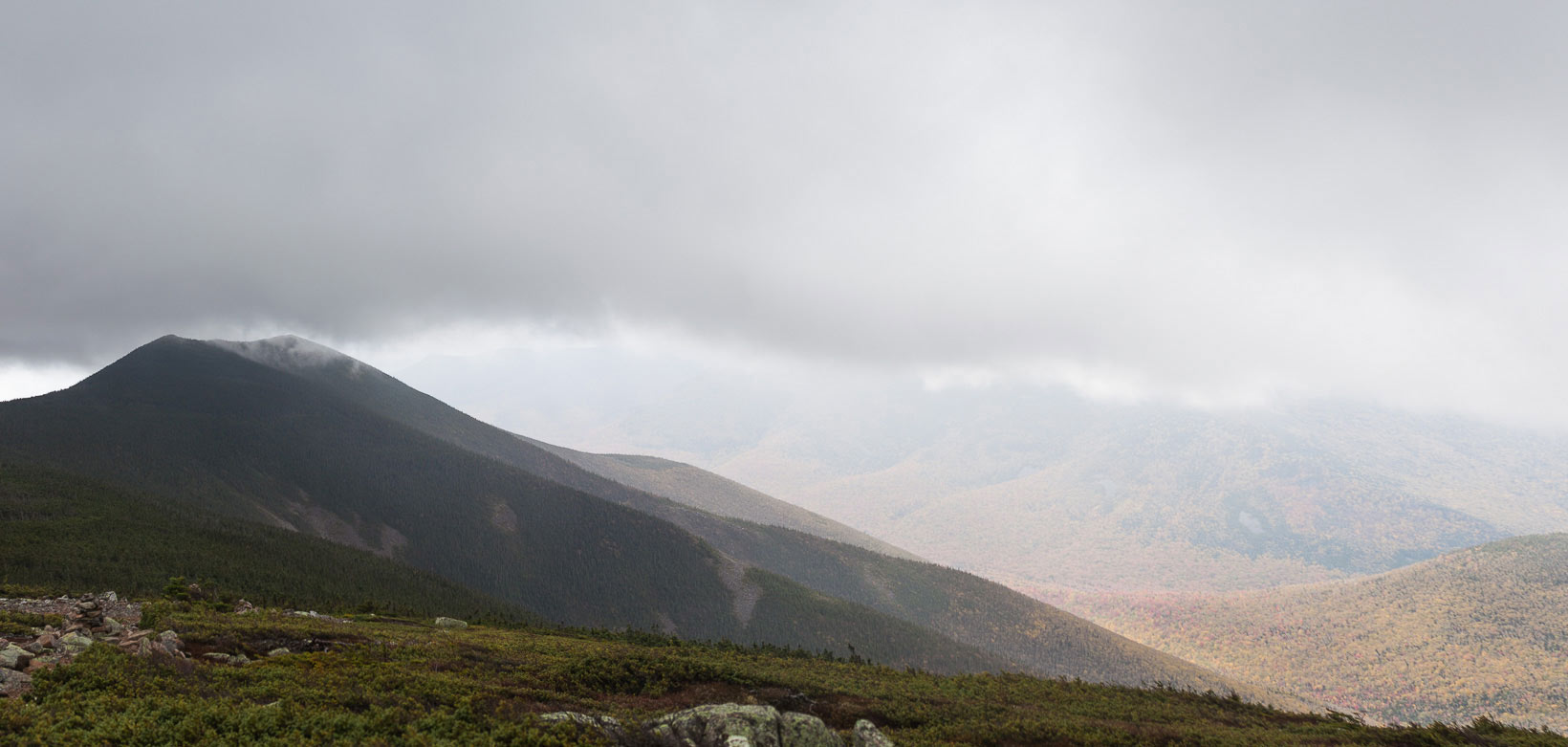
As I returned to my pack, the rain started picking up again. I suited up in what little rain gear I had and pressed on. The trail from South Twin was quite gradual and a welcome change of pace. I reached the summit of Guyot and the clouds started to break. I could finally see down into the valley and immediately noticed how vibrant the fall colors were. The wind was at least 40mph so I quickly retreated below the tree line. This was the windiest stretch I experienced on the whole hike.
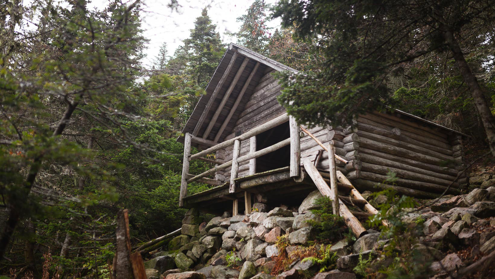
My next stop for the night was Guyot Shelter. The day was still young and the thought of hiking all the way back to my truck crossed my mind. Sitting around at the shelter for hours didn’t sound fun and neither did hiking an additional eleven miles to the car. I decided to hike down to the shelter to scope it out. There was one other person there, a south bound AT hiker named Mustard. He was taking a zero day and was already setup for the night. While I was chatting with him, two more hikers showed up and claimed a few of the empty spots on the ground level. I decided to stay for the night so I threw my pack up to the second level and claimed a spot. The entire place sleeps about twelve people and there were seven of us at about 5 o’clock.
Since there were still a few hours of light left in the day I decided to hike up West Bond (4,540 ft.), my fourth summit of the day. The hike was only a few miles round trip so Richard and I took off for the summit. I met Richard a few minutes before as he was staying at the shelter as well. I was expecting the view to be fogged in and it was. Like most of the trip, I could only see about twenty feet in front of me. As quickly as we summitted, we descended back to the shelter for the night. I was planning on leaving early the next morning, so I ate dinner and turned in for the night.
Day 4:
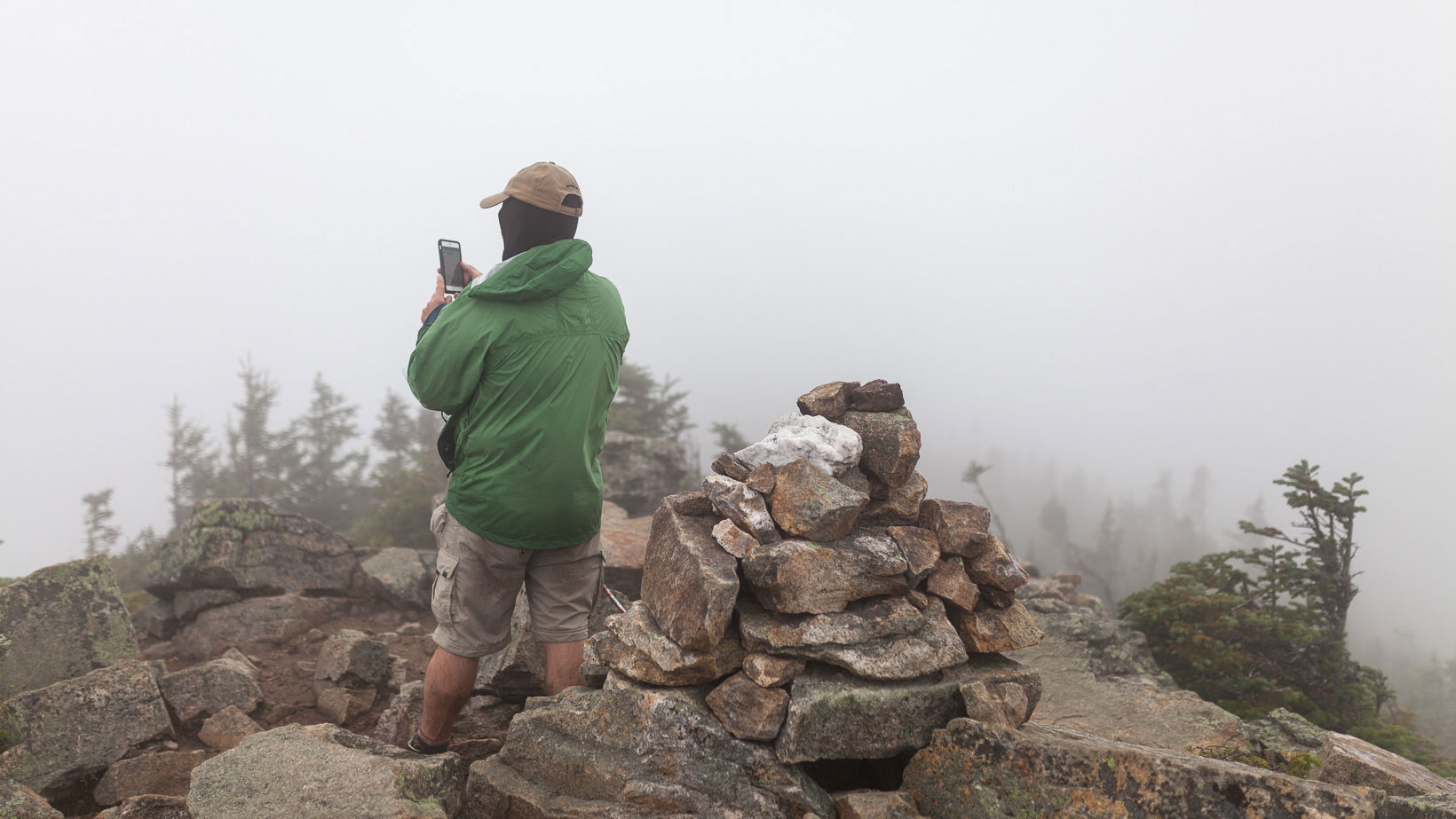
I was up at 5:30 am. I wanted to get an early start so I could get back to my truck at a decent time. Sunrise wasn’t until 6:45 am and I knew the first hour would be in the dark. I packed my gear, put on my headlamp, grabbed my food and hit the trail. Hiking in the dark with a small light was oddly quiet. There is nothing to focus on other then what is immediately at your feet, no distractions, no wind, nothing. The dense fog provided a surreal ambiance that once again eliminated any sense of scale. I continued on until I reached the summit of Mt. Bond (4,698 ft.). It was a little disorienting because I couldn’t immediately identify the summit. By looking around I had to assume I reached it.
There was one remaining peak left and that was Bondcliff (4,265 ft.). There is an iconic viewpoint on Bondcliff where you walk out onto a rock ledge and capture the scale in one photo. There was no grand view, just more fog and a bunch of rocky outcroppings that dropped off into the abyss. From there it was all downhill. About six miles downhill. The first part of the decent was steep but after the rock staircase it was all very gradual. I passed a few more ‘Pemi Loop runners’ before reaching the railroad bed. From there it was three more miles of flat walking. “This part should be a cake walk” I told myself. And it was…..for the first mile and a half. The remaining 1.5 miles took forever and I was starting to feel it. I wanted nothing more than to sit down and take my pack off. The suspension bridge I crossed four days earlier was finally in sight and I knew the trip was over.
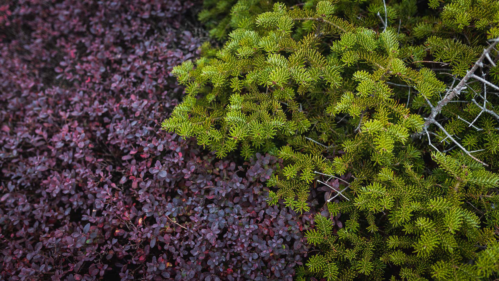

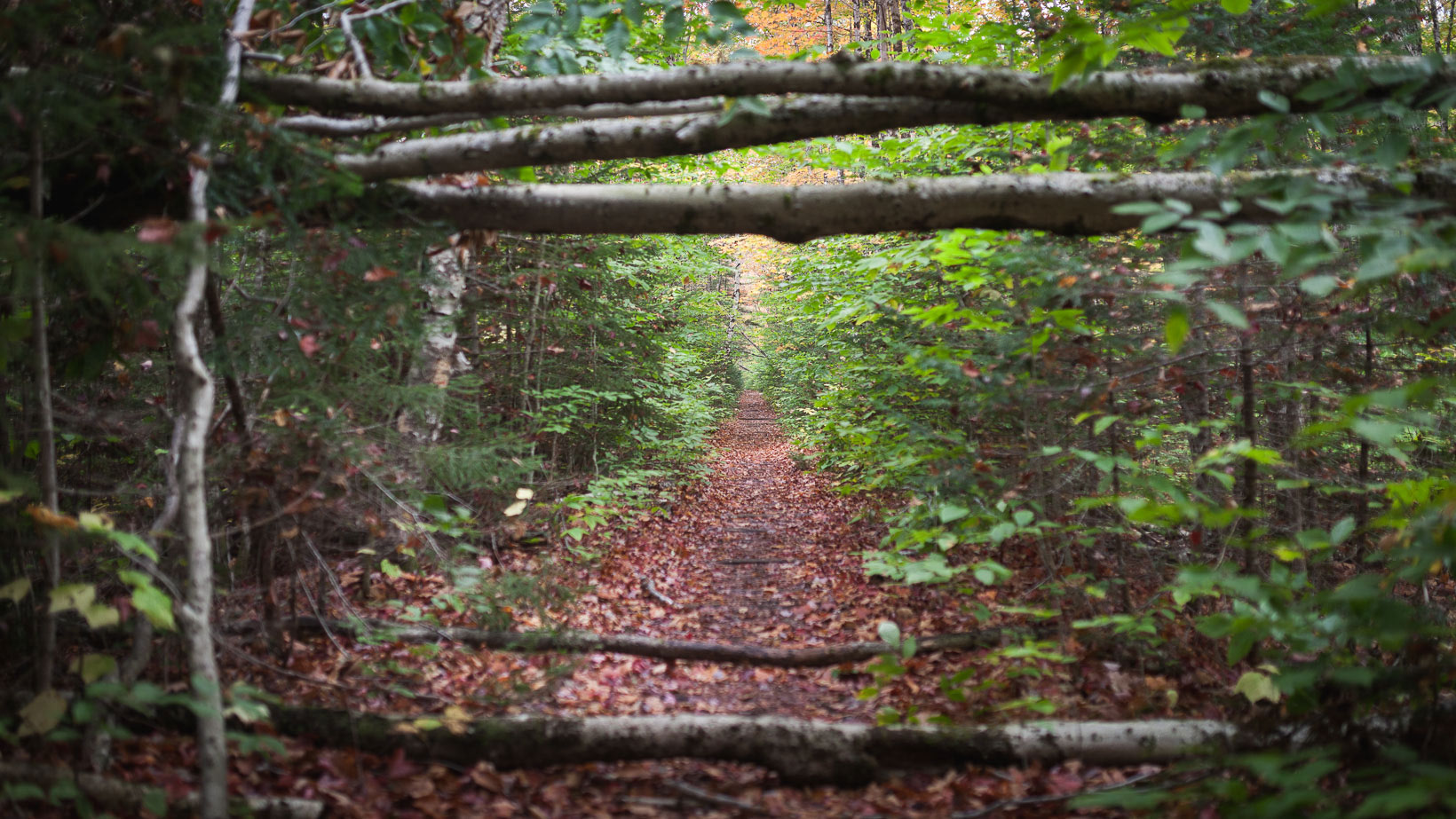
Hiking the Pemi Loop was challenging, I won’t lie. It was the longest and most difficult hike I’ve completed and I can’t wait to tackle it again.
