I snuck out of work a few hours early to make the three hour drive to Carrabassett Valley to hike Sugarloaf, Spaulding, and Abraham, three of Maine’s fourteen 4,000 footers. Last fall I hiked the Crocker’s and Reddington which had views of the Sugarloaf and Spaulding traverse. The traverse can be done end to end but I didn’t have a car spot on the other side so I opted for an overnight.
Total two day trip: 20.3 miles.
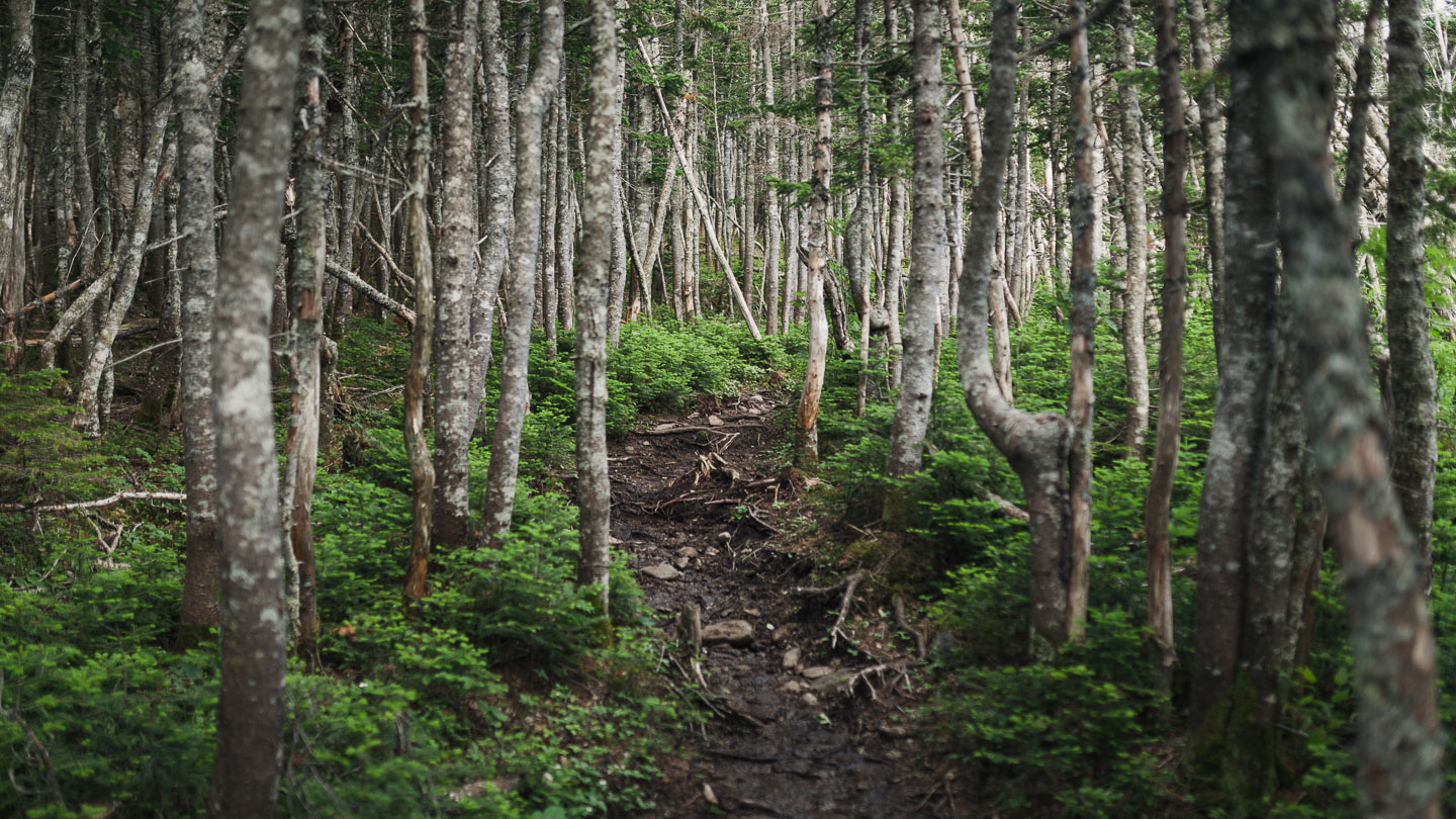
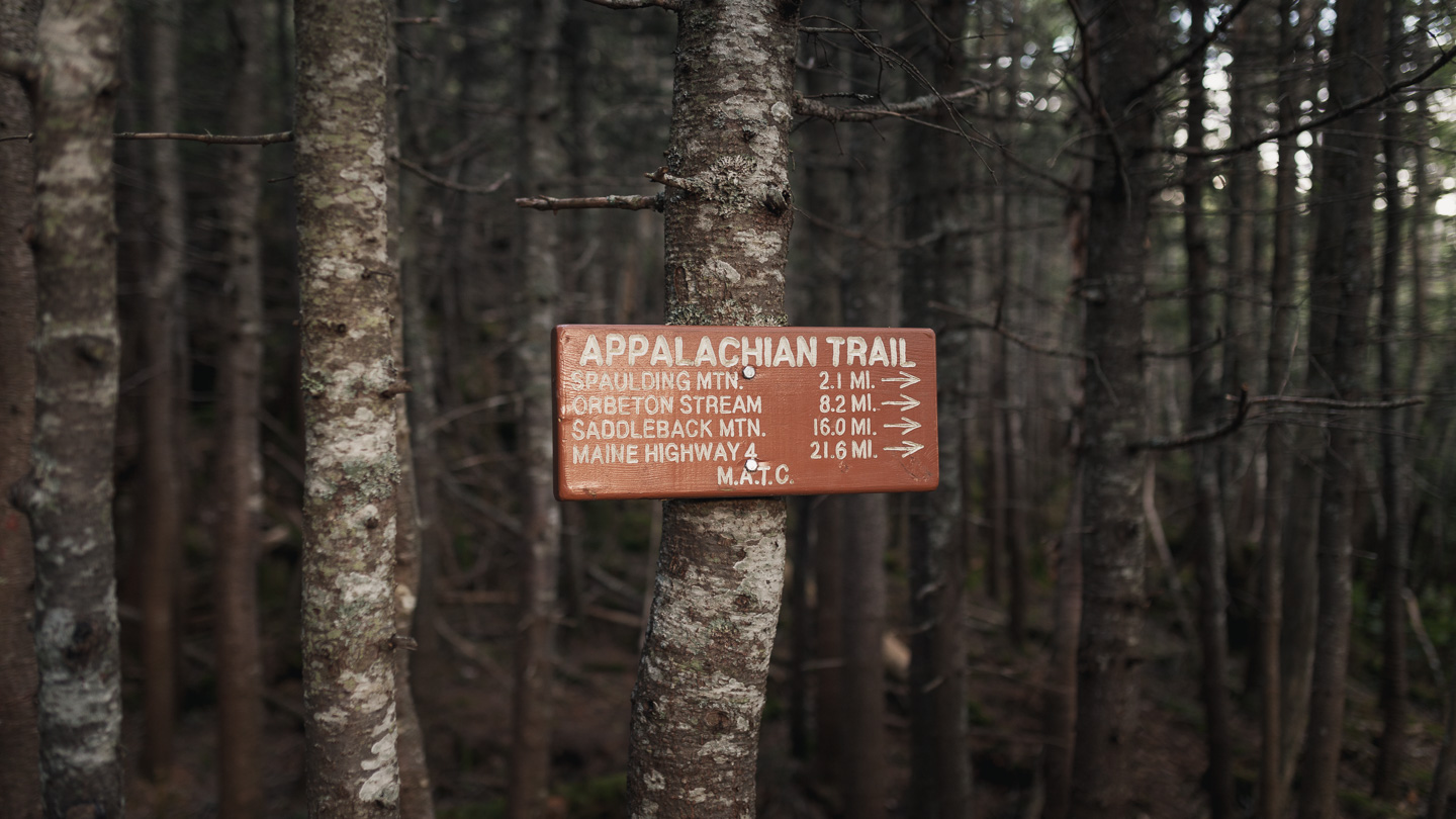
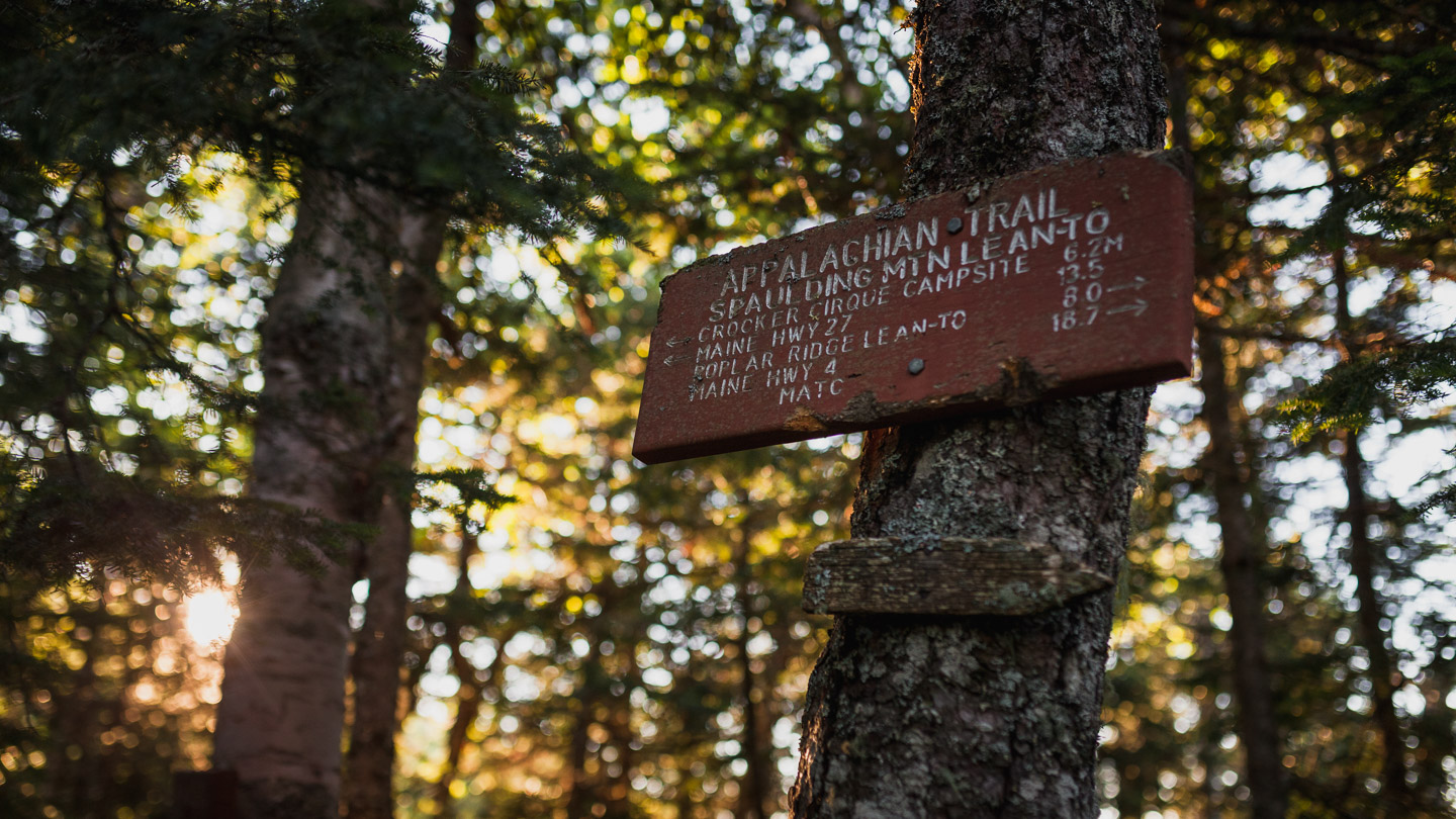
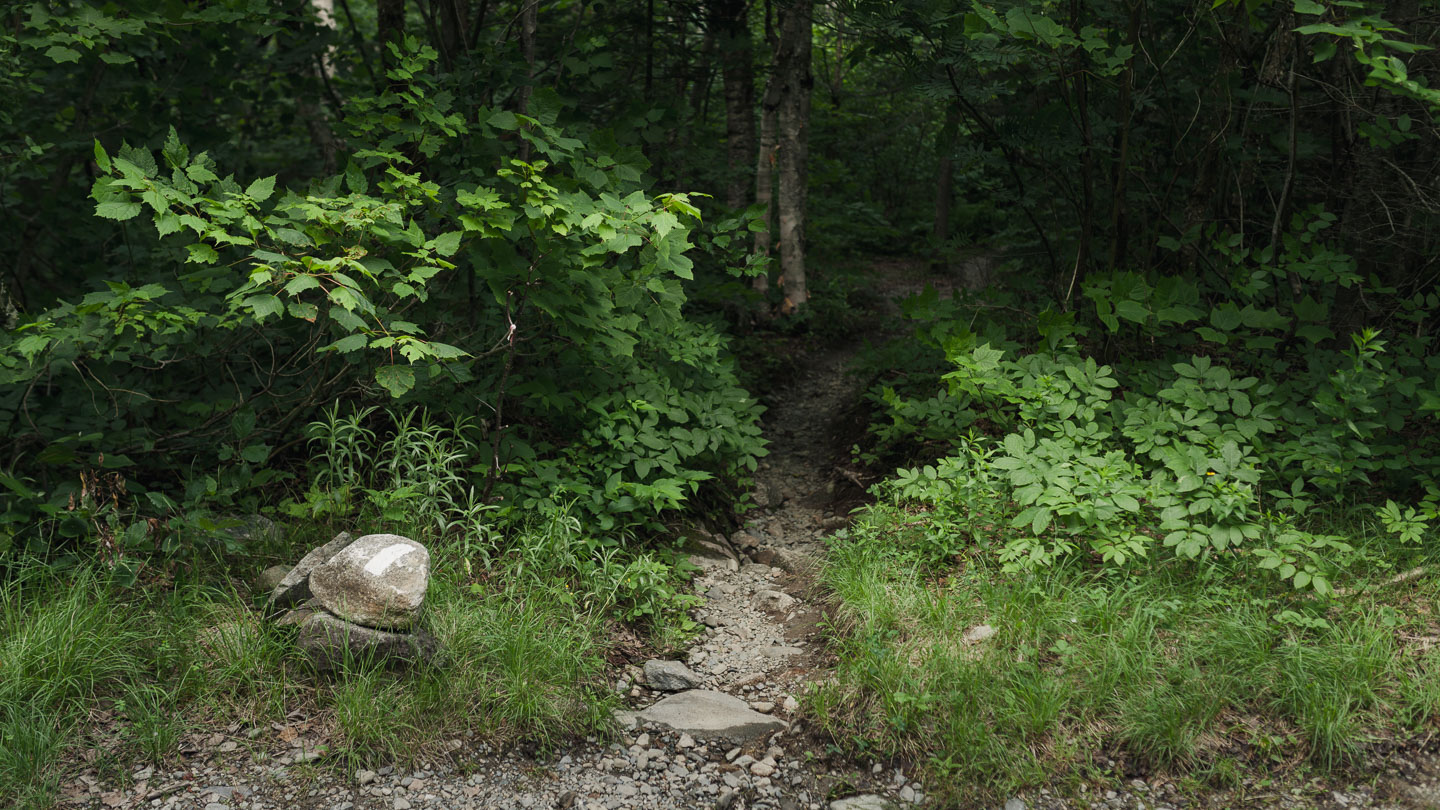 The start of trail begins where the Appalachian Trail crosses Caribou Valley Rd.
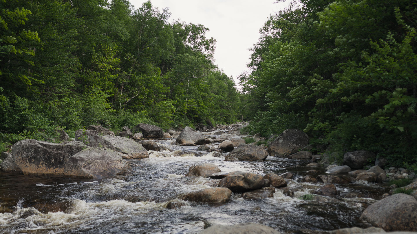
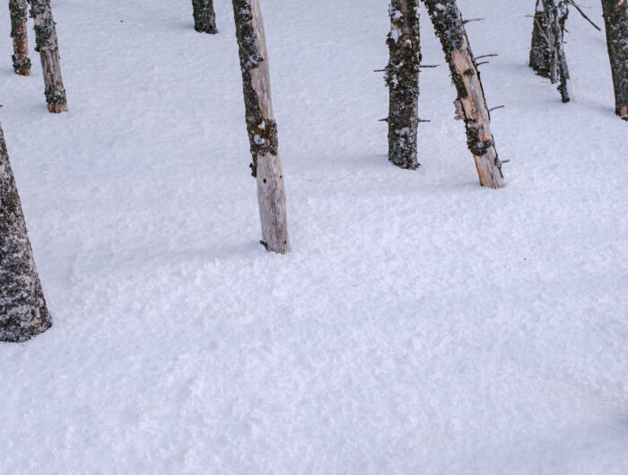
 With all the rain we’ve had the water was surprisingly low.
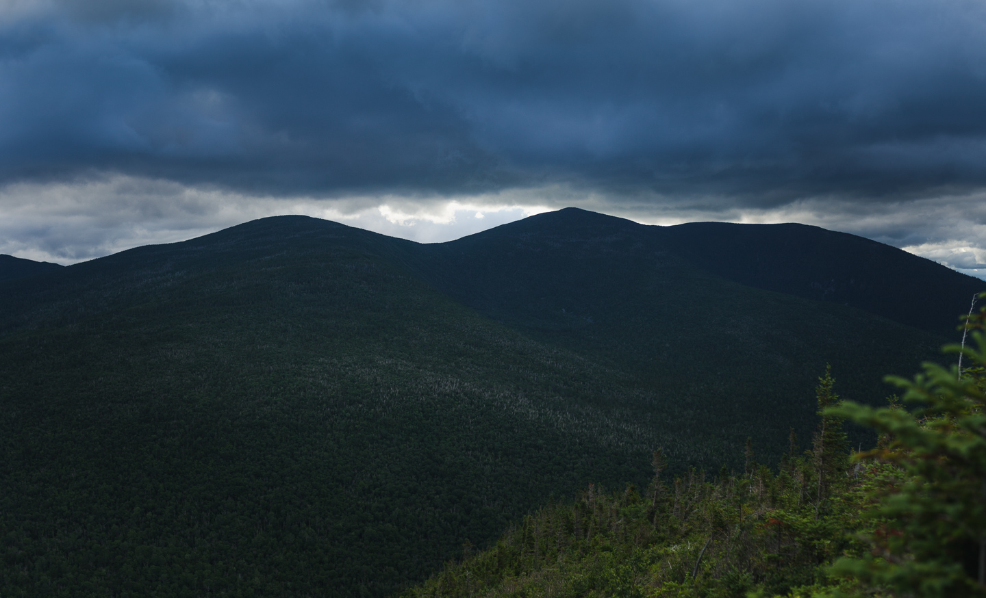 The view half way up Sugarloaf. In the distance is Crocker Mountain and South Crocker Mountain
 Carrabassett Valley
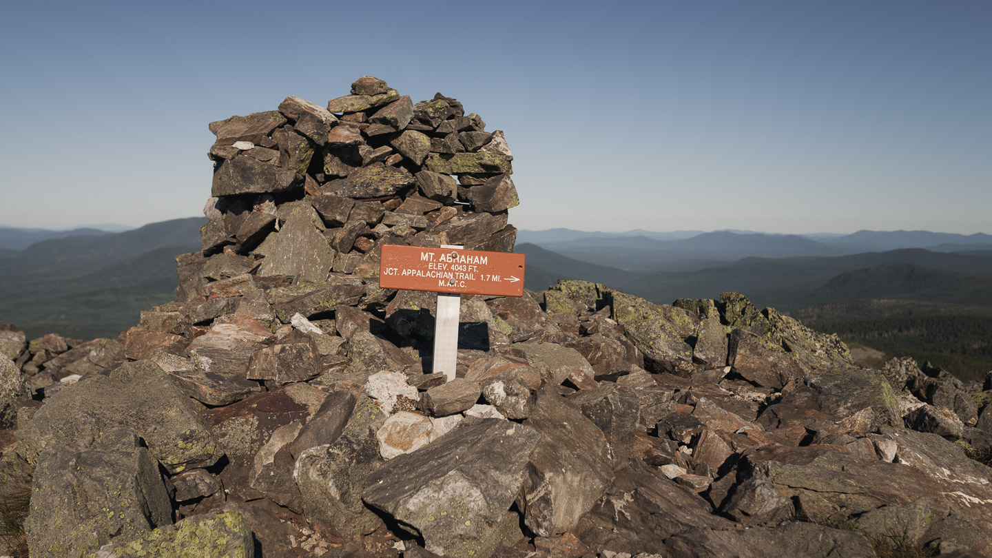
 View-less summit on Spualding. I’m not sure why the sign reads 3988 ft when the actual elevation is 4,010 ft
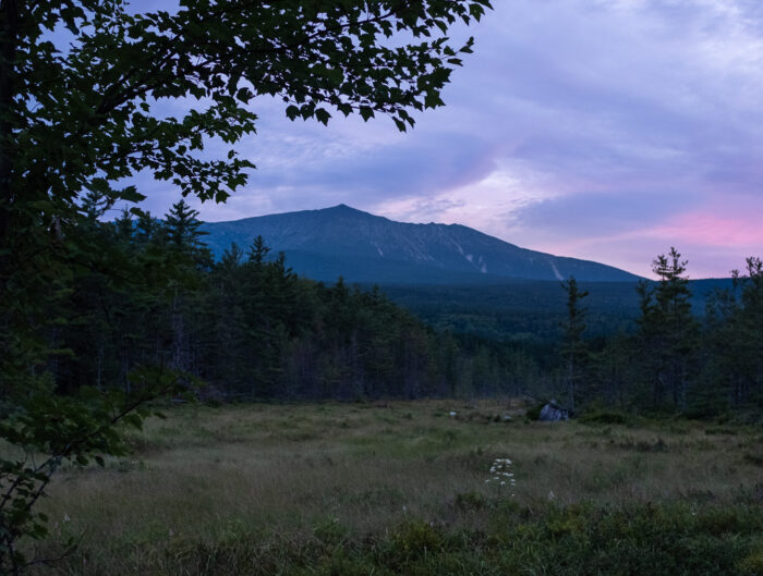
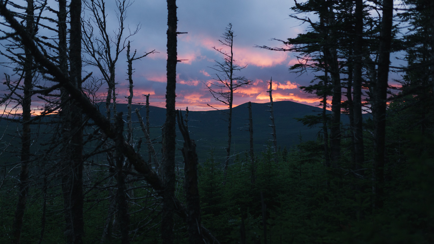 Caught a glimpse of the sunset as I was hiking down towards Spaulding Lean-To
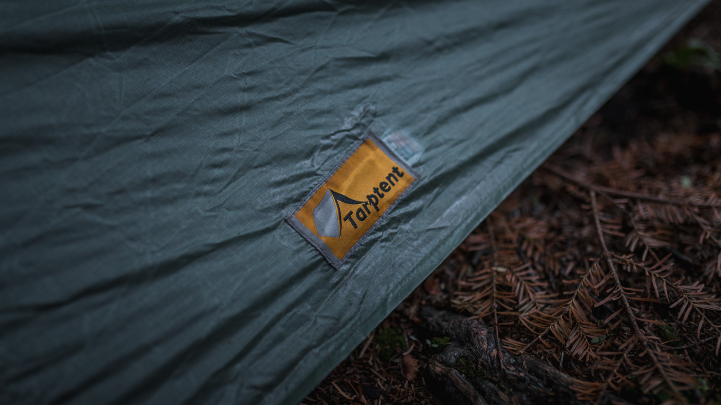
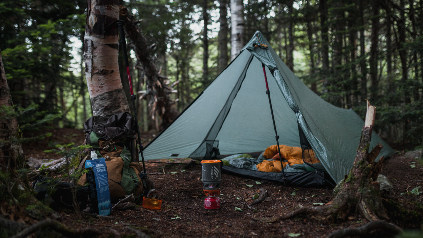 Anytime I hike solo, I always grab the Tarptent.
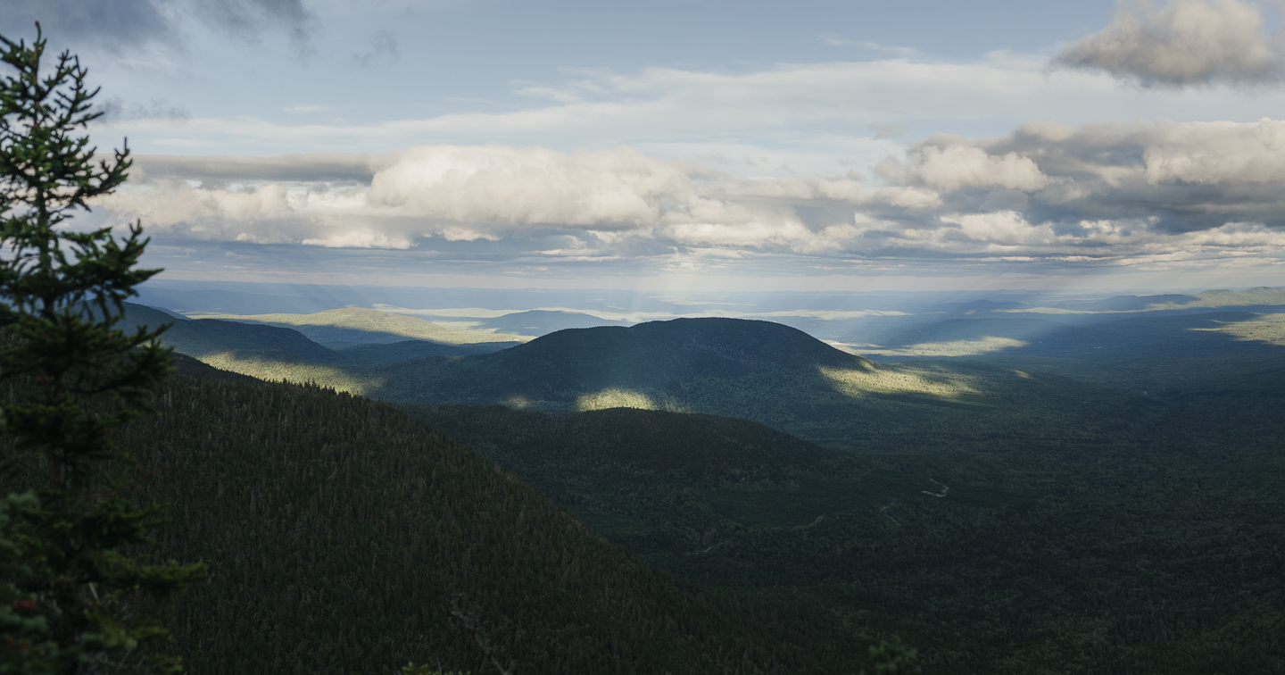
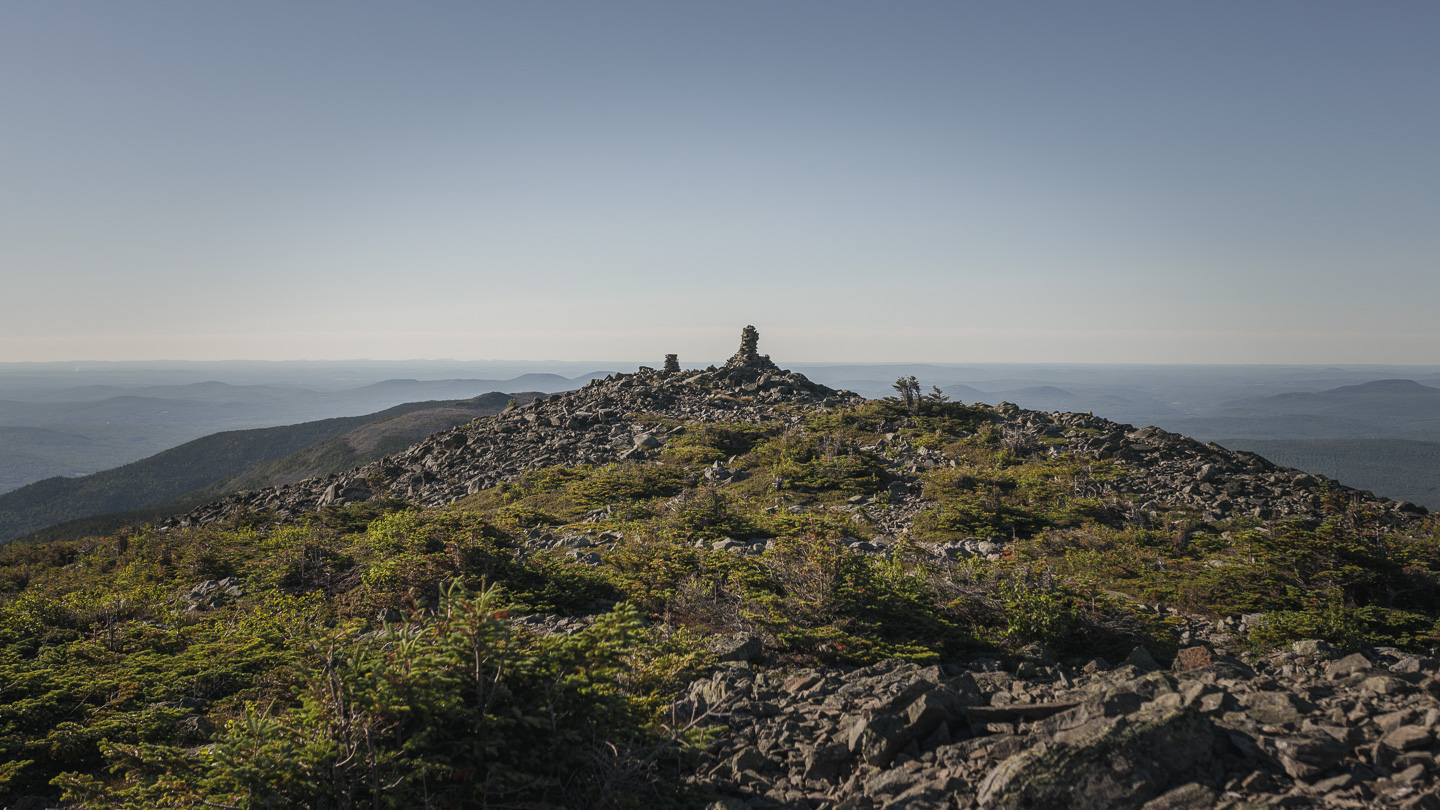
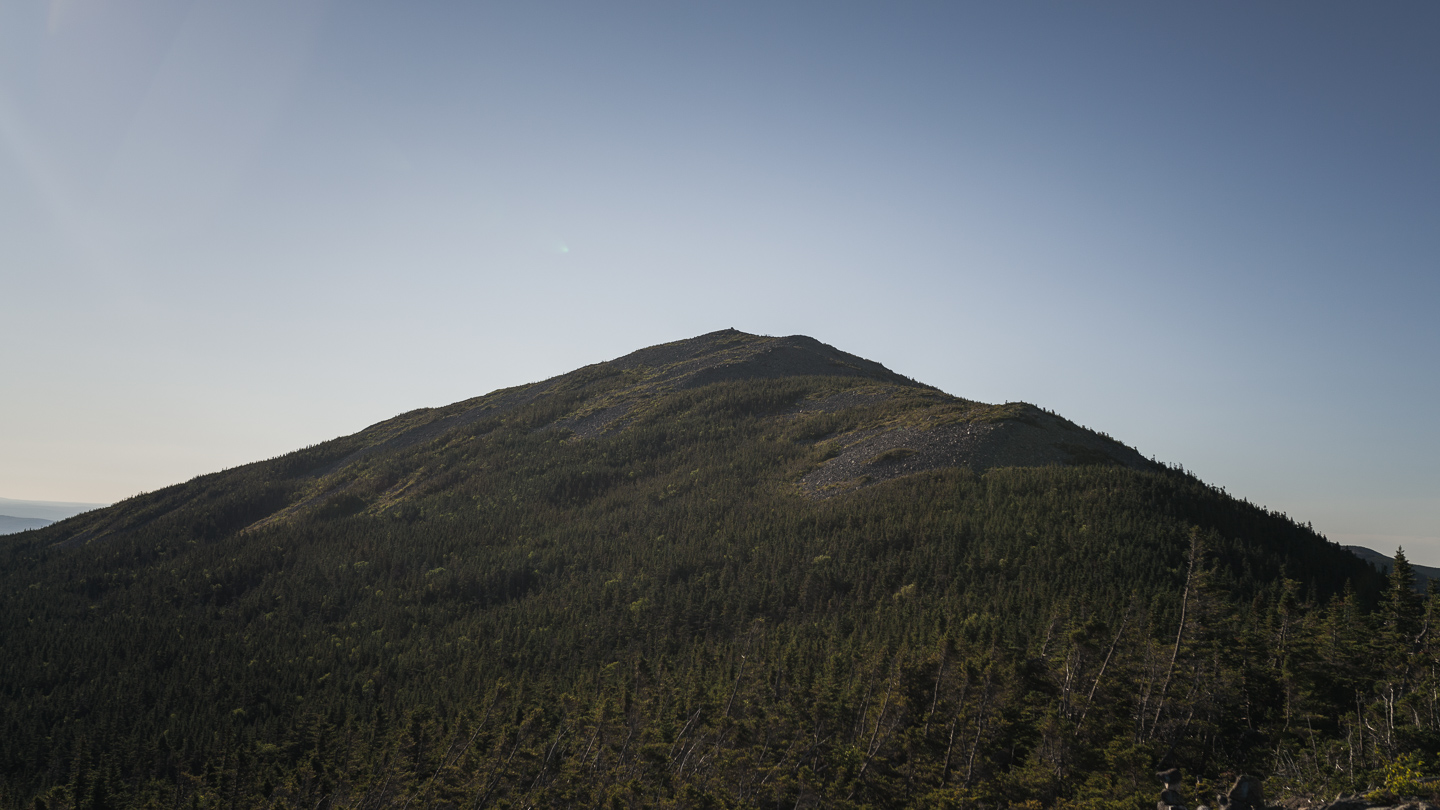 Mount Abraham in the distance.
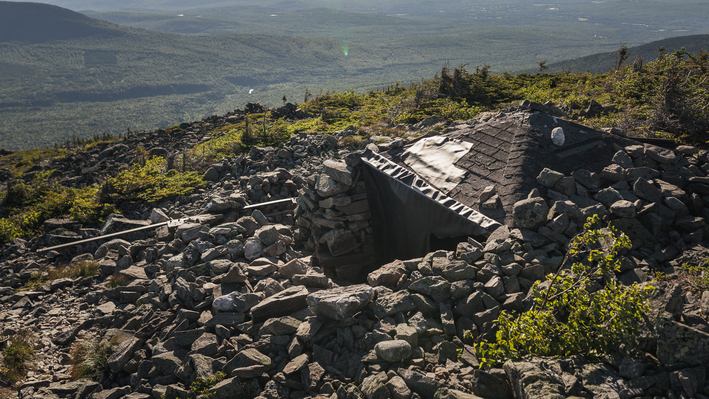 The remnants of an old fire tower turned into a stone bunker for escaping the winds.
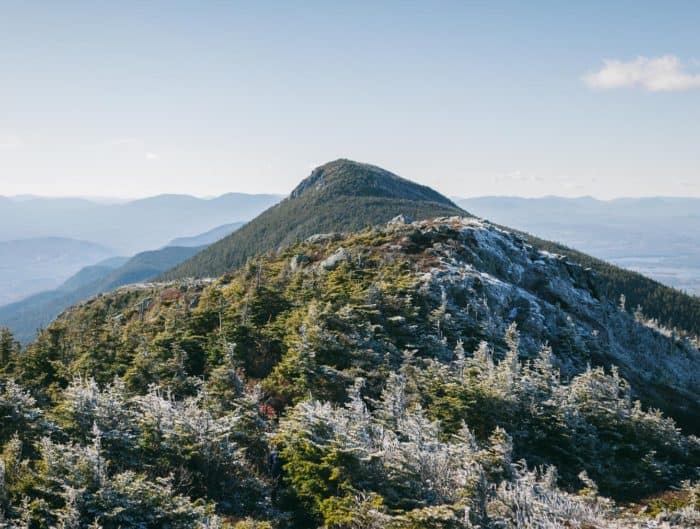
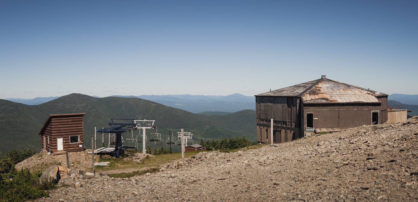
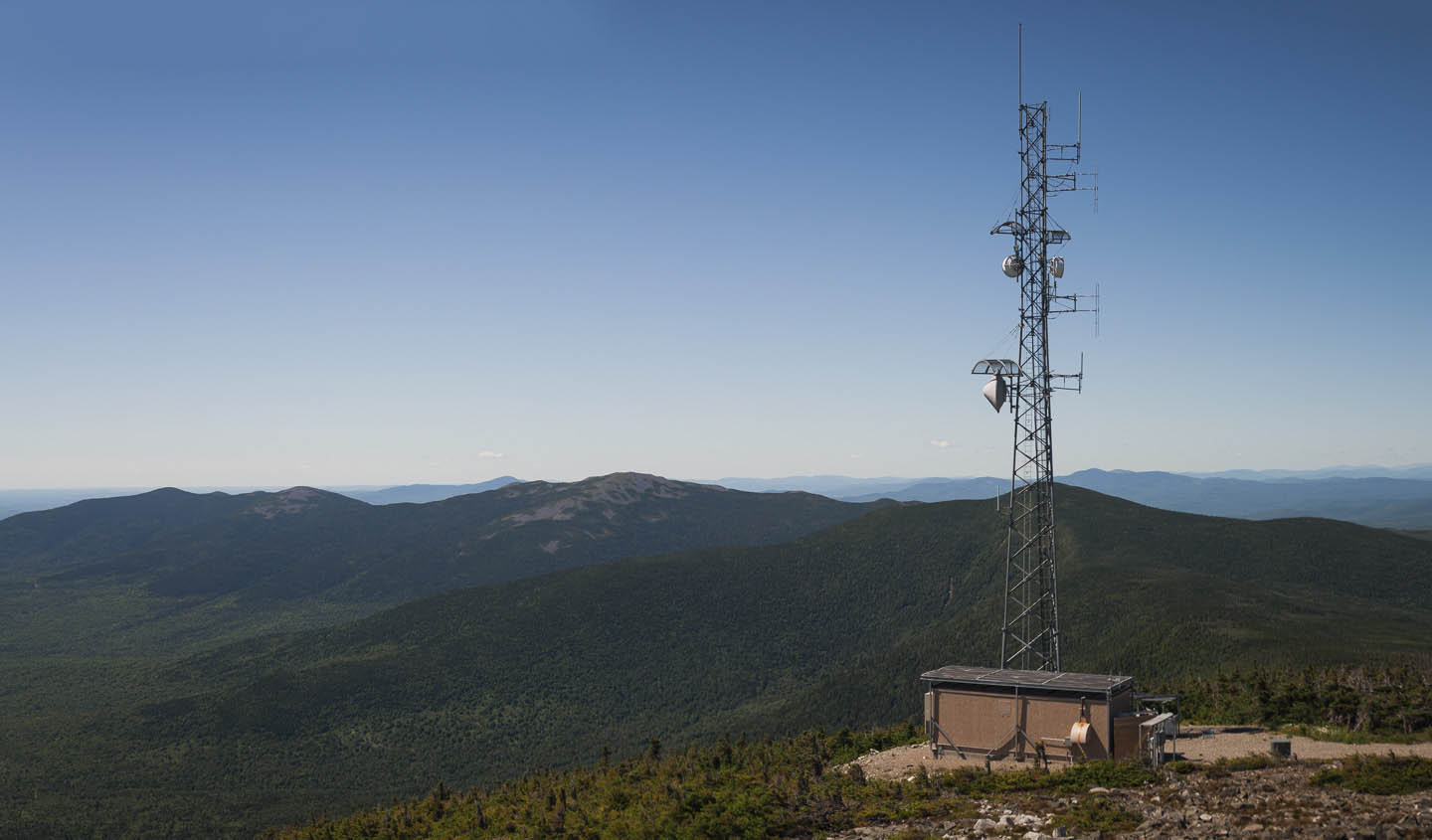 The top of Sugarloaf. In the far distance you can see the rocky summit of Mt. Abraham followed by Spaulding Mountain. Total distance from peak to peak was about 6.5 miles.
You might also like